Surveyors, hydrographers, GIS analysts and software engineers working as one unit across land survey, hydrography, drone mapping, CAD and software development.
One integrated team
Field-proven surveyors, engineers and developers under one roof
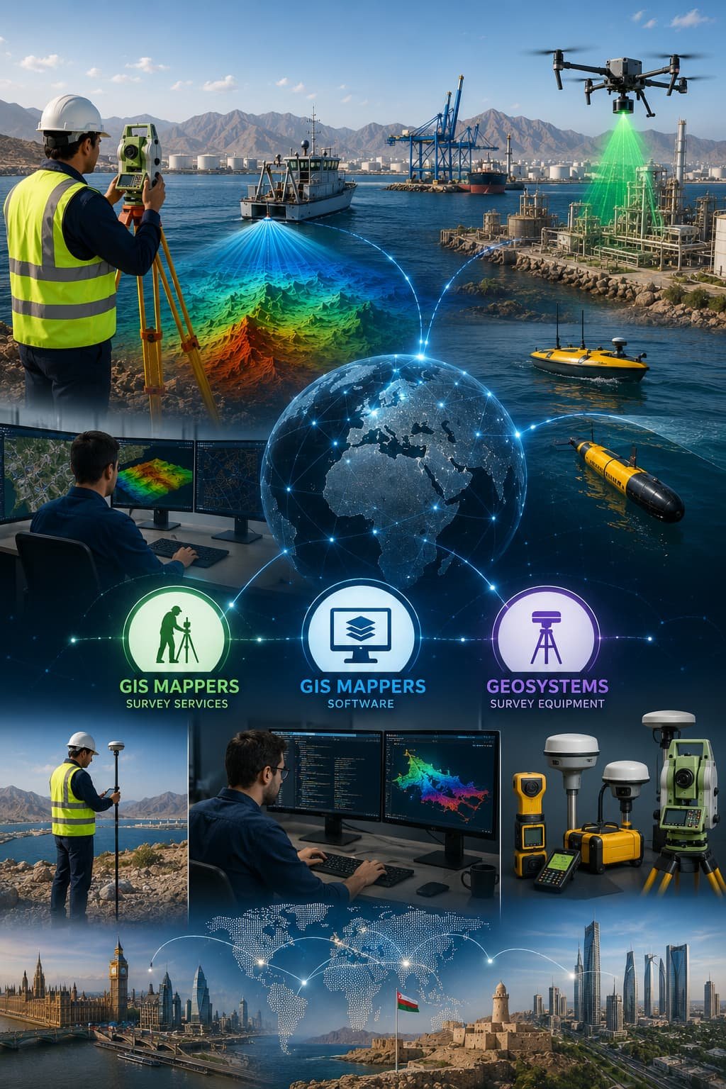
The strength of GIS Mappers is its people. The team combines decades of on-site field survey experience with modern digital practice — GIS, CAD, hydrographic systems, drone mapping, LiDAR, point clouds and software automation — so data captured in the field flows cleanly into the deliverables our clients depend on.
Surveyors, hydrographers, GIS analysts, CAD and software engineers and field crews work as a single connected unit across our three divisions: GIS Mappers (survey services), GIS Mappers Software (processing and automation) and GeoSystems (survey technology). The result is accountable, standards-led delivery from the first ground-control point to the final digital model.
The leadership team sets technical standards, owns delivery quality and keeps survey, software and GeoSystems working as one service.
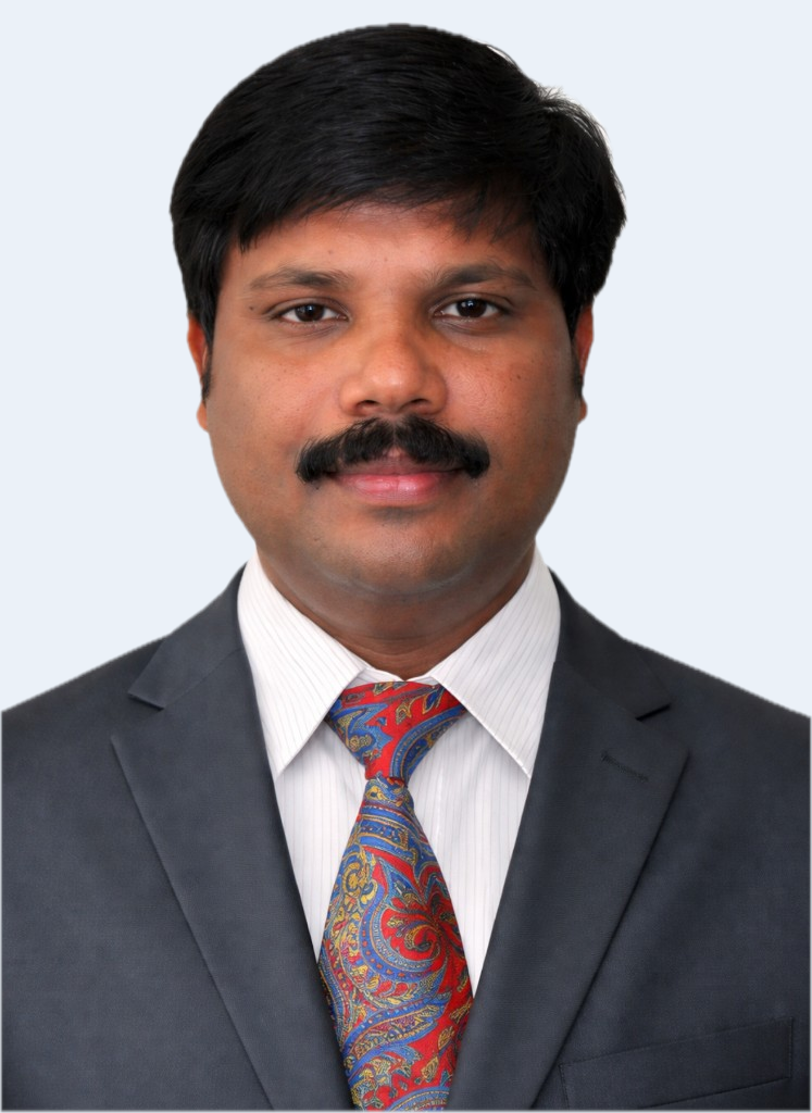
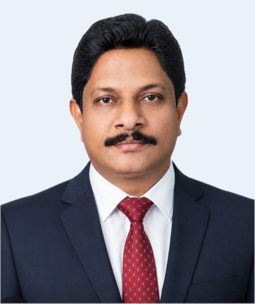
Anand Raj
Managing Director
Leads the overall direction of GIS Mappers, bringing survey services, geospatial software and GeoSystems technology together into one integrated, accountable offering for engineering, marine and infrastructure clients.
Group leadershipGeospatial strategyClient partnerships
United Kingdom · Oman · Saudi Arabia · international projects
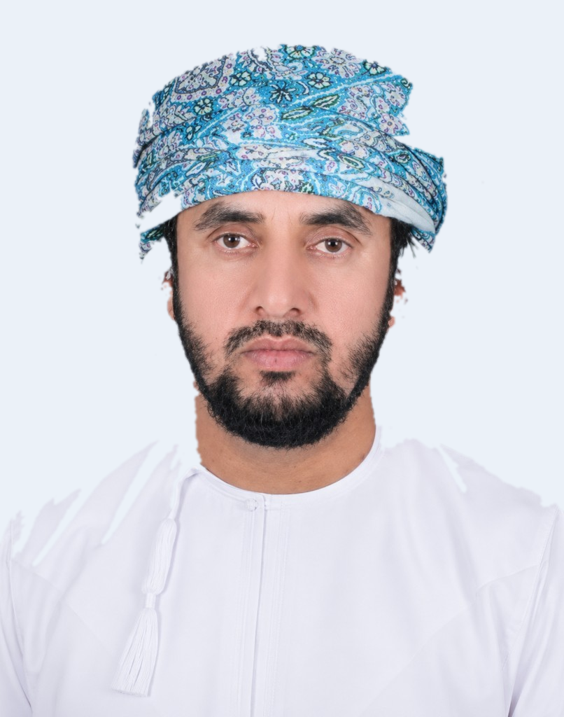
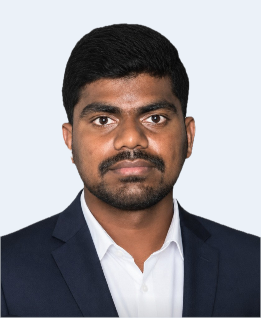
Issa Al Barmani
Regional Director — Oman & GCC
Oversees operations and client relationships across the Sultanate of Oman and the wider GCC, coordinating field teams, local partnerships and project delivery to regional standards.
Regional operationsClient liaisonProject delivery
Oman · Saudi Arabia · GCC
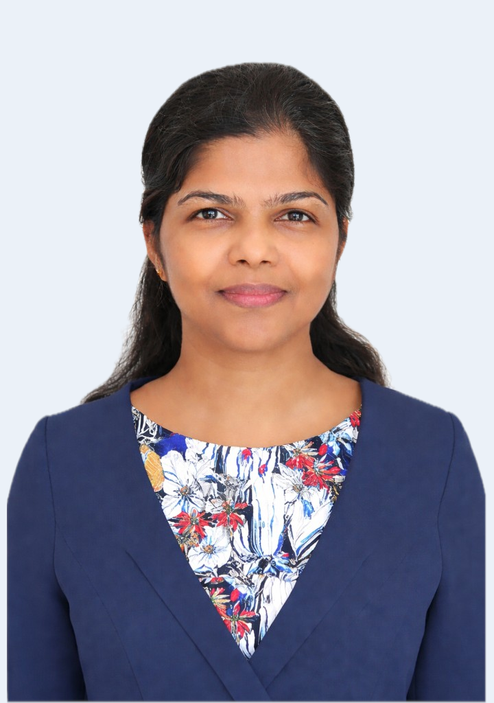
Marie Therese Sangy
Operations & Commercial Lead
Coordinates day-to-day operations, proposals and client communications, making sure enquiries, quotations and projects move smoothly from first contact through to delivery.
OperationsProposals & quotationsClient services
United Kingdom · Oman · Saudi Arabia · international projects
Survey, data & software specialists
The specialists who carry the standards
Field acquisition, survey reduction, CAD, spatial data science and research — the named specialists behind every deliverable.
Palani Murugan
Senior Survey & CAD Technician
Turns field observations into clean topographic drawings and survey deliverables, bridging field data and the CAD and GIS outputs clients receive.
Survey reductionCAD draftingTopographic plans
United Kingdom · Oman · Saudi Arabia · international projects
Syed Azeem
Senior Surveyor — Bathymetric, Topo, 3D & Drone
A senior multidiscipline surveyor experienced across bathymetric, topographic, 3D laser scanning and drone/UAV survey, who also supports GIS development, survey software and GPS/GNSS equipment.
Bathymetric & topo3D scanning & droneGPS/GNSS support
United Kingdom · Oman · Saudi Arabia · international projects
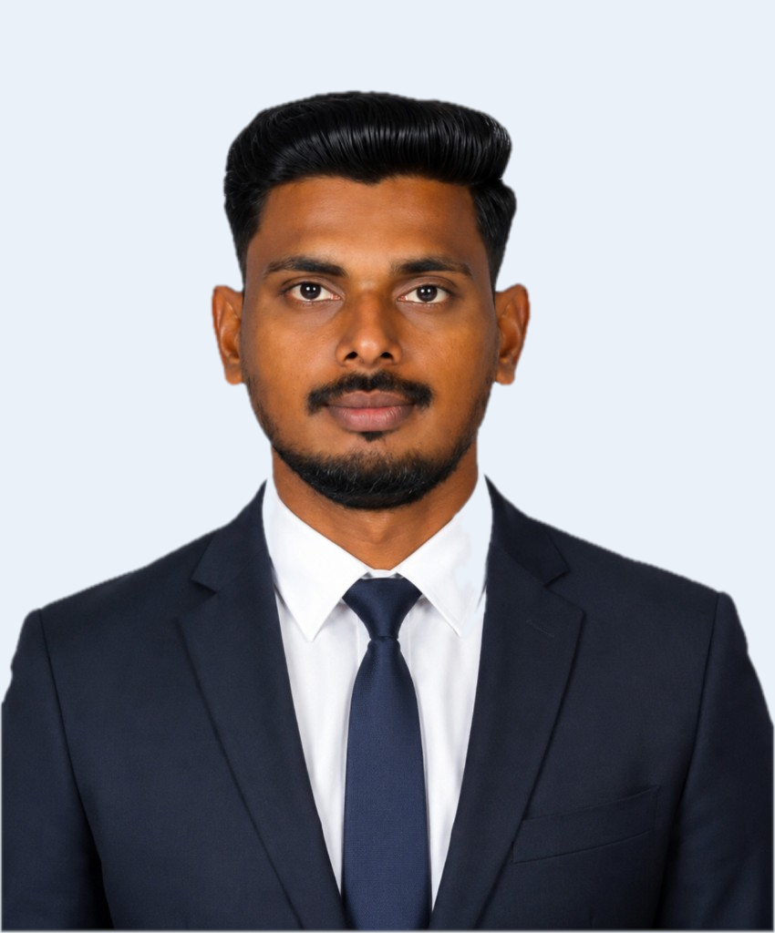
Partheeban Munisamy
Field Survey & Data Acquisition Lead
Leads field data acquisition and crew mobilisation, making sure measurements are captured correctly, completely and safely the first time on site.
Field acquisitionMobilisationOn-site QA
United Kingdom · Oman · Saudi Arabia · international projects
Yuvanica Manjini Anandaraj
Data Scientist — GIS & Analytics
Turns location and survey data into models, analytics and insight — supporting feature extraction, spatial analysis and data-driven decisions for clients.
Spatial analyticsPython & MLData modelling
United Kingdom · Oman · Saudi Arabia · international projects
Maheswari Ayyakkannu
Research & Digital Strategy Lead
Drives research-led GIS content and digital strategy, helping translate complex geospatial capability into clear information for clients and the wider market.
ResearchGIS contentDigital strategy
United Kingdom · Oman · Saudi Arabia · international projects
The wider field team
Beyond the specialists named above, an experienced field team covers control networks, topographic and engineering survey, monitoring and utility & GPR detection — all working to the same documented control, calibration and QA procedures.
Calibrated, regularly serviced survey instruments and GeoSystems hardware
Documented control, metadata and auditable QA/QC checks
Safety-first field operations across land, marine and coastal sites
Work with the team
Speak to the team behind your project
Tell us what you need to measure, map or model. We will put the right specialists — survey, software or GeoSystems — onto your enquiry.