Consultancy focus
We match equipment, software and support plans to the work you actually need to deliver.

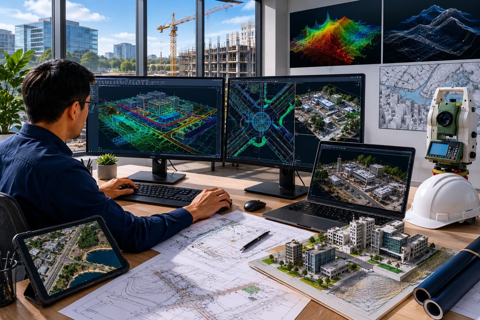
Independent advice on the right kit for your workflow. Delivered by GIS Mappers with calibrated systems, documented standards and ready-to-use deliverables.
Equipment Consultancy is delivered by our specialist team as part of an integrated geospatial service. We scope the right method and accuracy for your objective, capture or process the data with calibrated systems, and hand over results in the formats your workflow needs.
Because our survey, software and GeoSystems divisions work together, there are no gaps between data capture, processing and the technology behind it — giving you faster turnaround and a single accountable partner.
Independent equipment consultancy for survey, GIS and geospatial delivery teams.
We match equipment, software and support plans to the work you actually need to deliver.
Teams expanding capability, replacing old kit or standardising workflows across regions.
Recommended equipment schedule, capability matrix, implementation notes and training plan.
Define objectives, accuracy & deliverables
Execute with calibrated, fit-for-purpose systems
Process, model and quality-check
Deliver, document and support
Talk to our survey, software and GeoSystems specialists about your next project. Fast, professional, no-obligation quotations.