
Software
GeoAI & Remote Sensing
Analyse satellite and drone imagery — change detection, land-cover classification, environmental monitoring and predictive geospatial analytics.
OverviewIn development
GeoAI & Remote Sensing
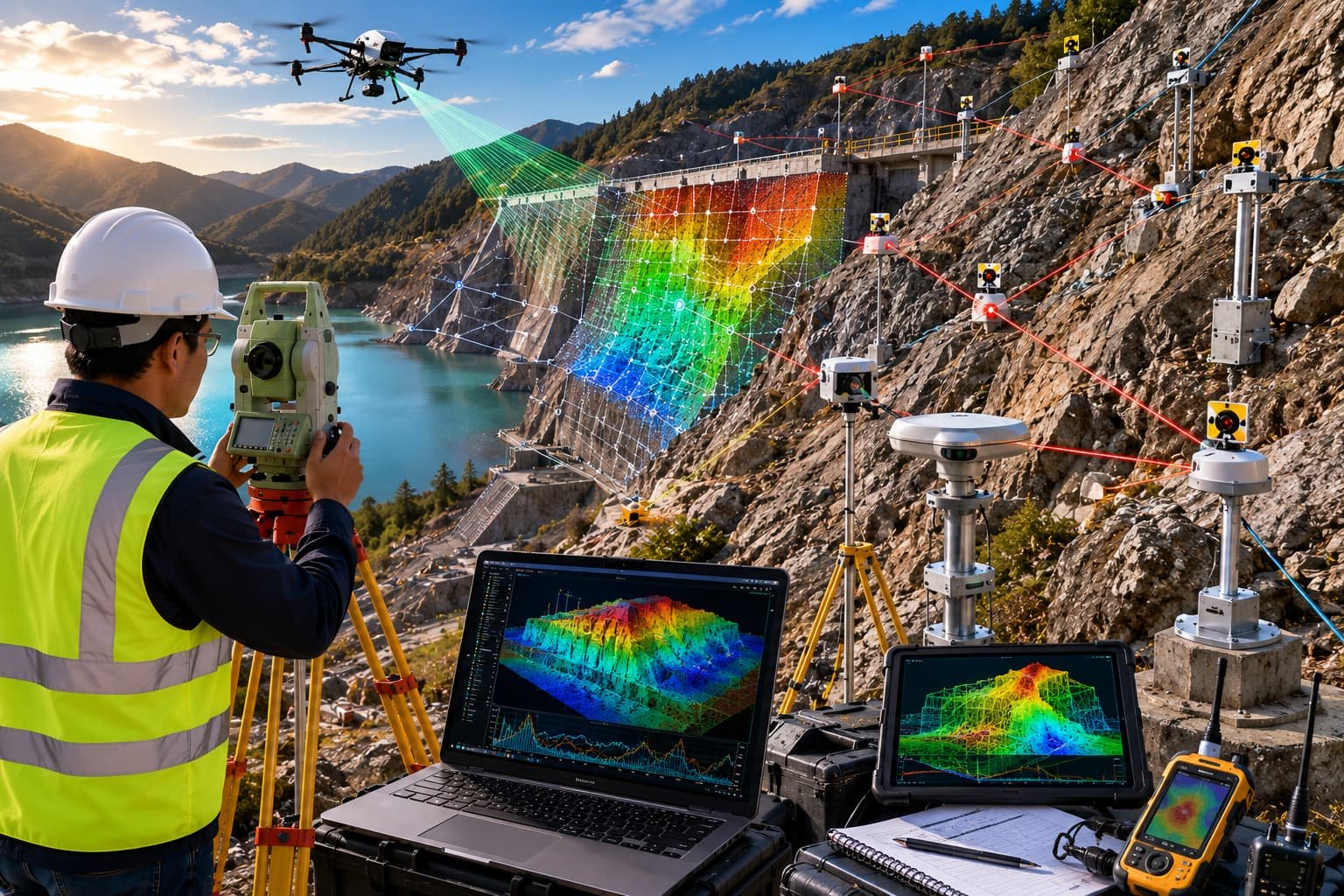
We develop GeoAI and remote sensing software for satellite imagery, drone imagery, environmental monitoring, land-cover classification, change detection and predictive geospatial analytics — combining GIS, AI and remote sensing for smarter decisions.
The workflows combine automated image-processing pipelines with human-reviewed outputs.
Key features
- Satellite image analysis
- Change detection
- Environmental monitoring
- Land cover classification
- Machine learning models
- Predictive analytics
- AI-powered mapping
- Automated image processing
Inputs
- Satellite & drone imagery
- Multispectral data
- Raster datasets & GIS layers
- Historical imagery
- Environmental datasets
Outputs
- Classified maps
- Change detection reports
- Environmental dashboards
- AI mapping outputs
- Prediction layers
- Automated image analysis reports
In development
Request a Demo
Designed for
Industries & workflows
Designed for survey, GIS, CAD, hydrographic and engineering workflows across these sectors.
FAQ
Questions, answered
Which imagery sources?
Optical and multispectral satellite, plus your own drone imagery — pipelines are built around your data and area of interest.
What can it predict?
Trend and change layers such as vegetation, land-use change and environmental indicators, framed as decision support.
Let's build it together
Ready to turn field data into decisions?
Talk to our survey, software and GeoSystems specialists about your next project. Fast, professional, no-obligation quotations.