
Service
3D Laser Scanning
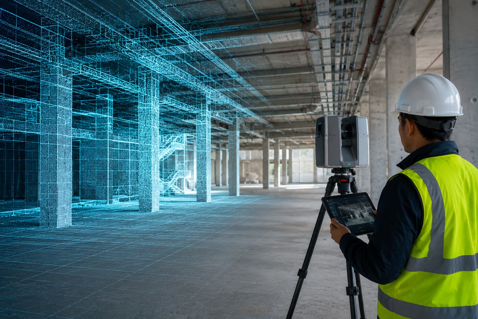
Terrestrial and mobile 3D laser scanning — dense, registered point clouds for as-built documentation, BIM and reality capture.
Overview
3D Laser Scanning
Laser scanning captures millions of points in minutes, giving a complete, measurable 3D record of structures, plant and sites. We register scans to control and deliver clean point clouds and models ready for BIM and engineering.
Ideal for as-built verification, clash detection, heritage recording and complex facilities where every dimension matters.
Scope of work
- As-built & reality capture
- BIM-ready point clouds
- Clash detection support
- Heritage & facade scanning
- Plant & industrial scanning
- Deformation baselines
How we deliver
Methodology
01
Plan scan positions & targets to control
02
Capture with terrestrial/mobile scanner
03
Register & clean the point cloud
04
Model to required LOD and QC
Equipment & technology
- Terrestrial laser scanner
- Mobile/handheld scanner
- GNSS/total-station control
- Registration & modelling software
Deliverables
- Registered point cloud (RCP/LAS/E57)
- BIM/CAD models to agreed LOD
- 2D drawings from cloud
- Inspection & deviation reports
Where it's used
Industries served
FAQ
Questions, answered
What is the accuracy of a scan?
Registered cloud accuracy is typically a few millimetres at building scale, depending on range and control.
Can you deliver Revit/BIM models?
Yes — we model to the LOD you specify and hand over native BIM/CAD plus the source cloud.
Let's build it together
Ready to turn field data into decisions?
Talk to our survey, software and GeoSystems specialists about your next project. Fast, professional, no-obligation quotations.