
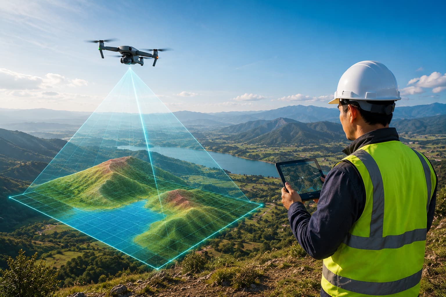
Survey technology, specified by people who use it
GeoSystems is the technology, integration and consultancy division of GIS Mappers. Instruments and systems are specified, configured, trained and supported by working surveyors — with supply and rental available where a project needs them.
Ten categories, from receiver to support line.
Positioning, capture, marine and AI systems — plus the consultancy, integration, rental and training that keep them earning in the field.

GNSS / GPS Systems
Multi-constellation survey-grade receivers for control, detail and machine-guidance work.
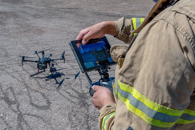
RTK / PPK Systems
Real-time and post-processed centimetre positioning for ground and airborne survey.

Total Stations & Instruments
Total stations, levels and field controllers, calibrated and field-ready.
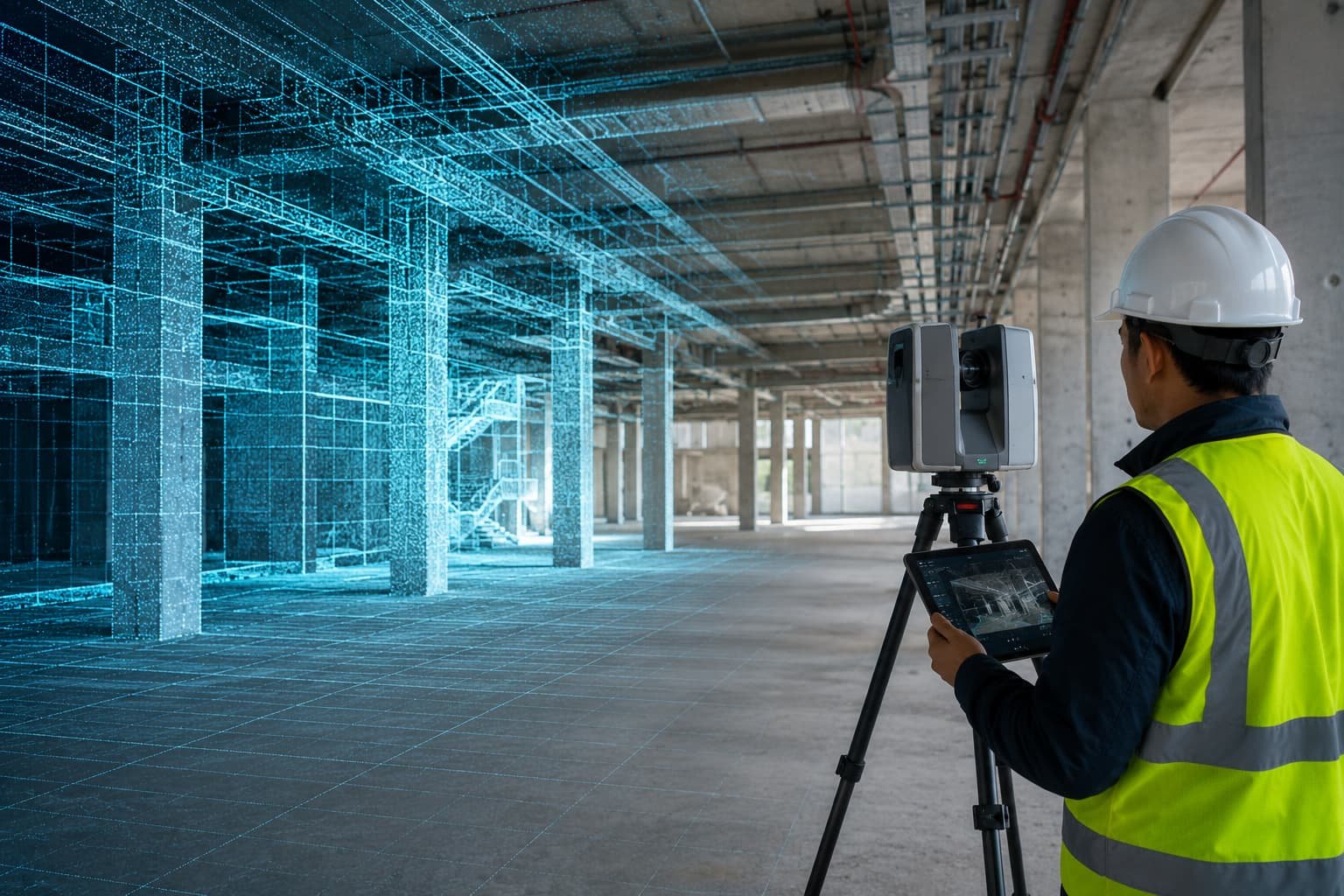
3D Laser Scanners
Terrestrial and mobile reality capture for as-builts, BIM and digital twins.
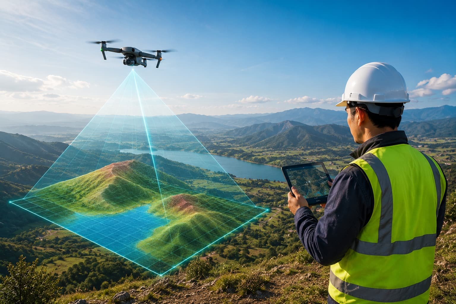
Drone Mapping Systems
Survey UAV platforms with RTK and LiDAR payloads for mapping and inspection.
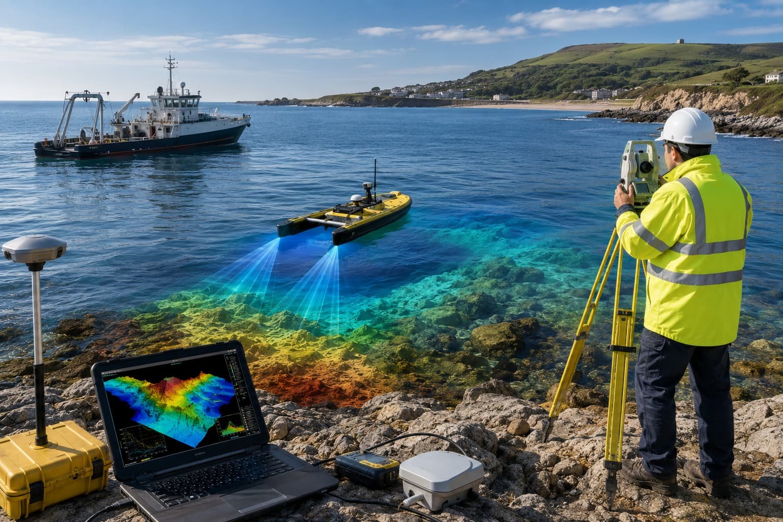
Hydrographic Systems
Echo sounders, USVs and tide & current sensors for marine survey work.
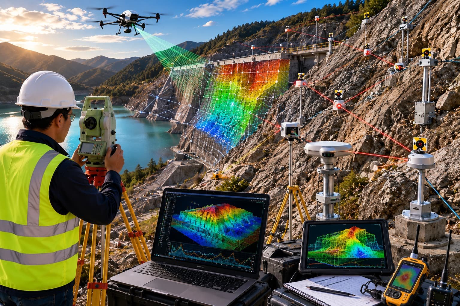
AI Mapping Systems
Edge and cloud AI mapping technology for automated geospatial intelligence.

Equipment Consultancy
Independent advice on the right kit for your workflow, accuracy targets and budget.
Supply & Rental
Purchase or hire calibrated systems, configured and ready for the field.
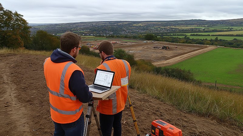
Training & Technical Support
Onboarding, calibration and ongoing support that continues after purchase.
Advice from the field, not the brochure.
Specified by users
We run this equipment on real survey projects every week — recommendations come from field performance, not a specification sheet.
Independent advice
The right kit for your workflow and budget, not a sales quota. If a simpler system does the job, that is what we will say.
Supply or rental
Own it outright or hire it calibrated and ready for the field — rental suits short programmes and lets you evaluate before you buy.
Trained & supported
Onboarding, calibration checks and help that continues after purchase — so the system keeps producing deliverables, not support tickets.
Hardware, software and surveyors — one chain.
GeoSystems is the technology division of a working survey group. The instruments we supply are configured for the same workflows our software processes and our field teams deliver every day — so the configuration, the processing chain and the people who troubleshoot it all sit under one roof. In plain terms: if something in the workflow breaks, one phone call reaches someone who has used the same kit on site.
- Configuration — receiver, controller and software set up for your coordinate systems and formats
- Workflow setup — the instrument-to-deliverable chain tested before handover
- Training session — field and office onboarding for your team
- Support line — direct access to surveyors who use the same equipment
Asked before most engagements.
Do you rent as well as sell?
Yes. Most systems are available for purchase or hire. Rental units are supplied calibrated and configured for your project, and hire is often the right choice for short programmes, peak workload or evaluating a system properly before committing to purchase.
Can you train our team on equipment we already own?
Yes. Training and support are offered as standalone services and are not limited to equipment supplied by us. We run onboarding on your own instruments, review calibration and field procedure, and set up the workflow from instrument to final deliverable.
Do you help choose between brands and models?
That is the core of the consultancy service. Because we run survey projects ourselves, recommendations are based on how a system performs in the field and how it fits your workflow and budget — not on a sales quota for a single brand. Where a cheaper system does the job, that is what we recommend.
Tell us your workflow. We'll specify the system.
Describe the work, the accuracy you need and the format your data must arrive in — we propose the system, or the rental, that fits. Independent, and without obligation.