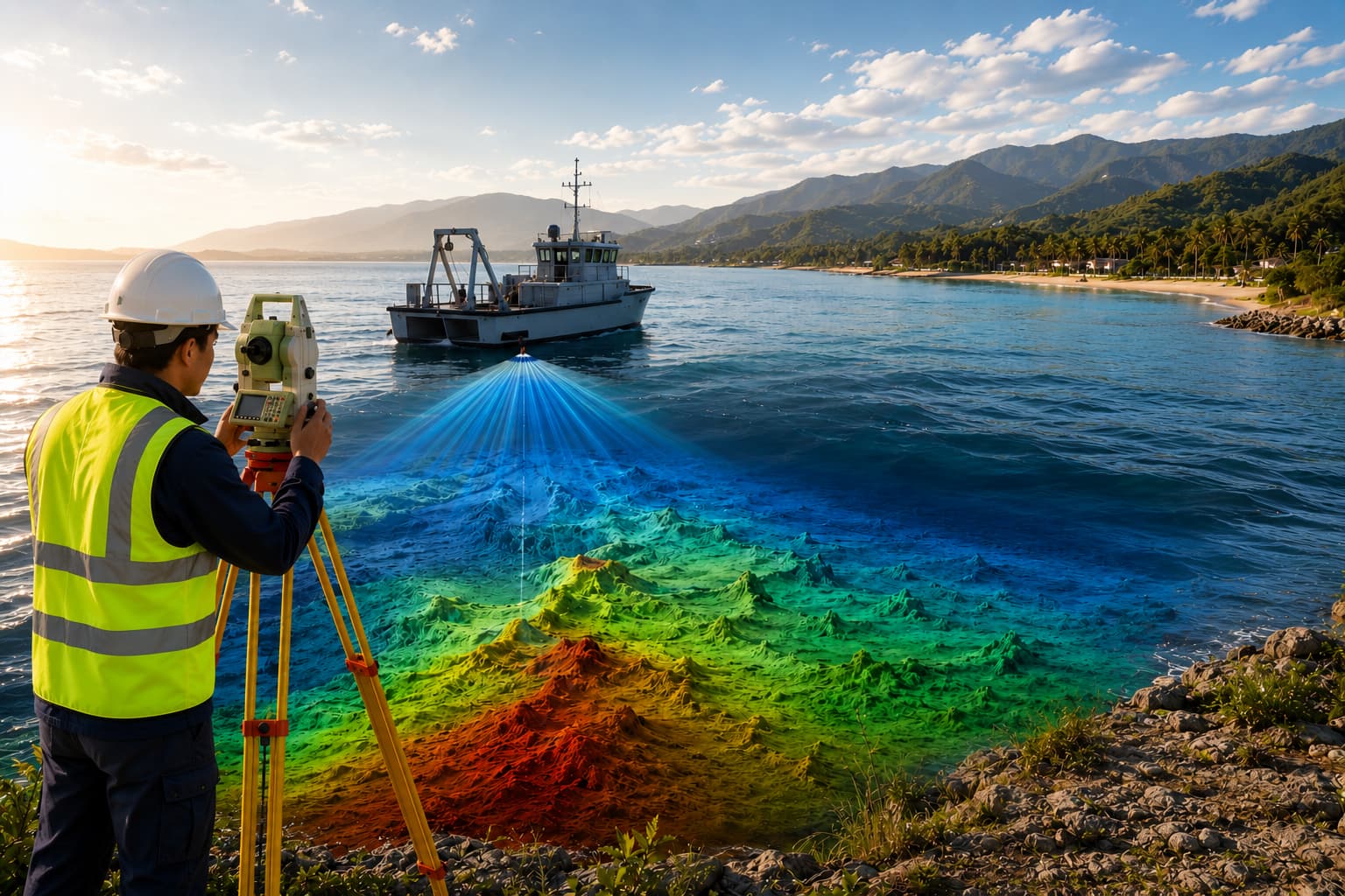
Bathymetric & Hydrographic Survey
Single-beam and multibeam bathymetric and hydrographic surveys for ports, harbours, dredging, intakes and coastal works — delivered to IHO S-44 standards.
Bathymetric & Hydrographic Survey
Our hydrographic team maps the seabed with the accuracy your marine engineering decisions require. We have delivered pre- and post-dredging bathymetry, seawater intake and outfall surveys, quay-wall and berth surveys and seabed monitoring across Gulf ports including Sohar, Salalah, Duqm, Masira, Seeb, Khasab and Bar Al Jissah.
Surveys are referenced to documented horizontal and vertical datums (typically UTM with WGS84 and Chart Datum), with continuous tidal correction, daily bar checks and sound-velocity profiles to guarantee vertical accuracy. Coverage and accuracy are matched to the appropriate IHO S-44 order for the work.
Scope of work
- Pre- and post-dredging bathymetric surveys
- Multibeam and single-beam echo sounding
- Seawater intake & outfall surveys
- Quay-wall, berth and jetty surveys
- Seabed change & settlement monitoring
- Volume computation for dredging
Methodology
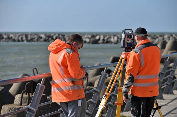
Mobilise vessel/USV with calibrated echo sounder and RTK/DGPS positioning
Establish tidal observations and apply real-time corrections
Run survey lines at the specified spacing with daily bar checks & SVP
Process in hydrographic software, QC against S-44, reduce to chart datum
Equipment & technology
- Odom Echotrac / Hydrotrac MKIII (210/33 kHz)
- Multibeam echo sounder
- Valeport tide gauge
- Sokkia RTK GPS / Hemisphere DGPS
- HydroPro navigation & logging
Deliverables
- Bathymetric charts (e.g. 1:1000)
- Contoured seabed surfaces & DTMs
- XYZ / ASCII point data
- Dredging volumes & cross-sections
- Survey report to IHO S-44
Industries served
Related project experience


Questions, answered
Which IHO S-44 order do you survey to?
Single-beam or multibeam?
Ready to turn field data into decisions?
Talk to our survey, software and GeoSystems specialists about your next project. Fast, professional, no-obligation quotations.