3D Scanning
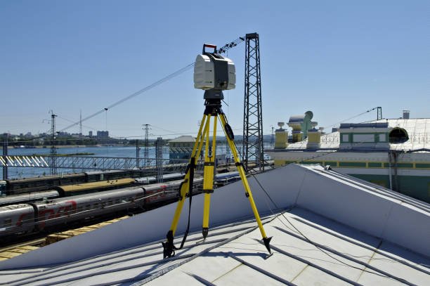
As-built capture of a live facility
Registered point clouds of a live facility for BIM and as-built documentation.

Port authorities, engineering consultancies and government bodies rely on our data where the cost of error is highest — pre-dredging campaigns, seawater intakes, live facilities and highway corridors across Oman and Saudi Arabia.
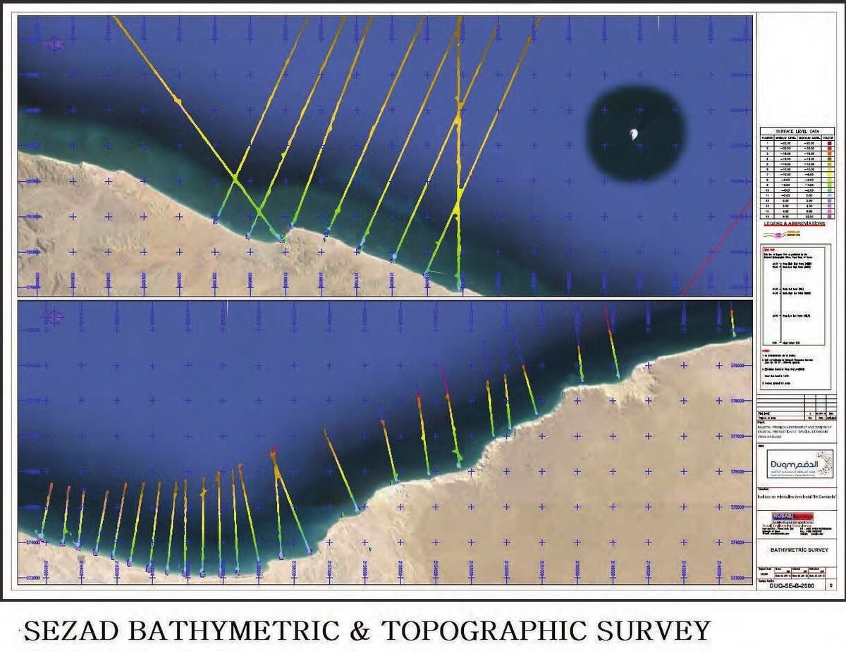 19.6600° N · 57.7000° E — DUQM SEZ, OMAN
| Client | Special Economic Zone Authority Duqm |
|---|---|
| Standard | IHO S-44 Order 1a — as specified for this survey |
| Scope | Bathymetric & seabed survey of intake and outfall corridors |
| Metocean | ADCP current measurement over a full lunar cycle · wave buoy deployment |
| Location | Duqm Special Economic Zone, Oman |
In plain terms: seabed and current data a port authority can permit, design and dredge against.
Read the full Duqm case studyReal charts, clients and project records drawn from GIS Mappers delivery experience through Nusail Engineering Consultancy.
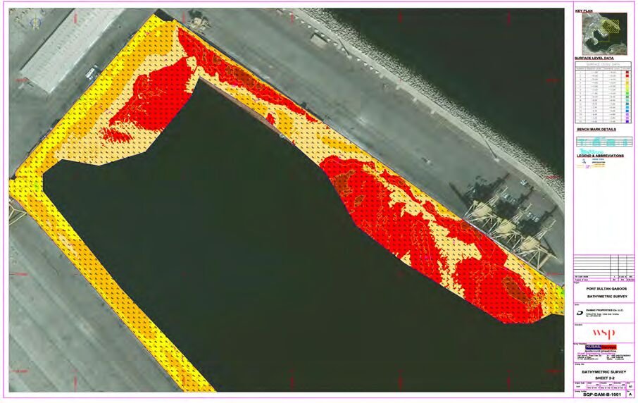
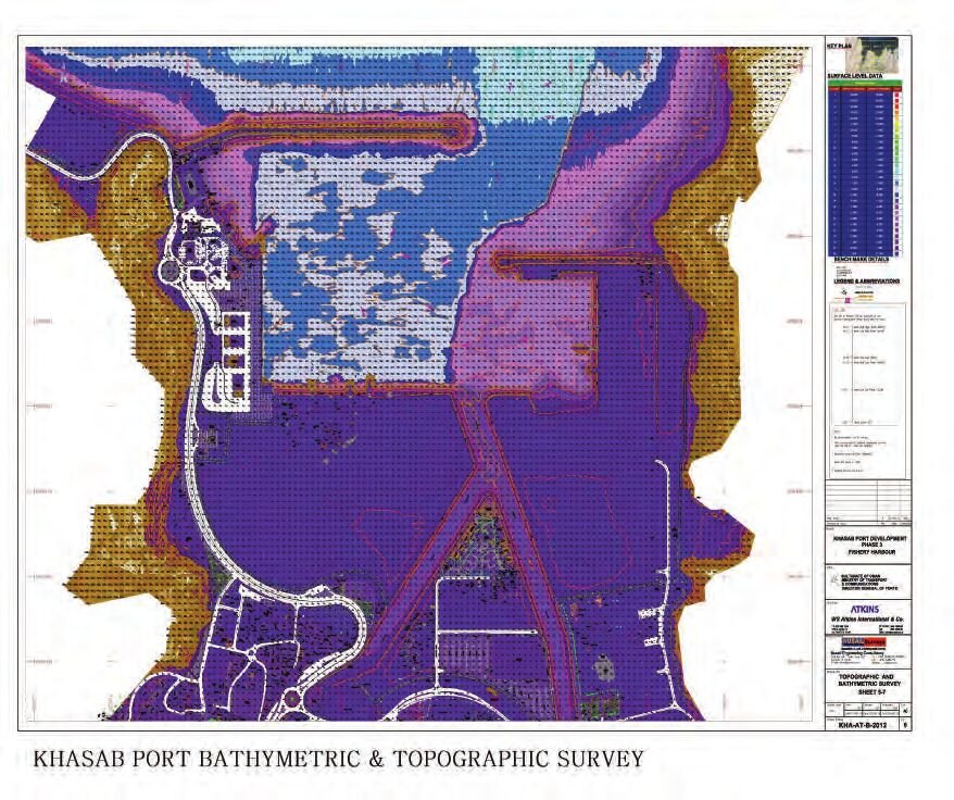
Quay walls at Salalah & PSQ Muscat, IHO S-44 Order 1a at Duqm, Khasab geophysics, six-harbour national programme.
17.8 km² at Jabal Akhdar, 10,200 ha at Duqm, 80,000 ha at Barr Al Hikman, 236 km pipeline corridor.
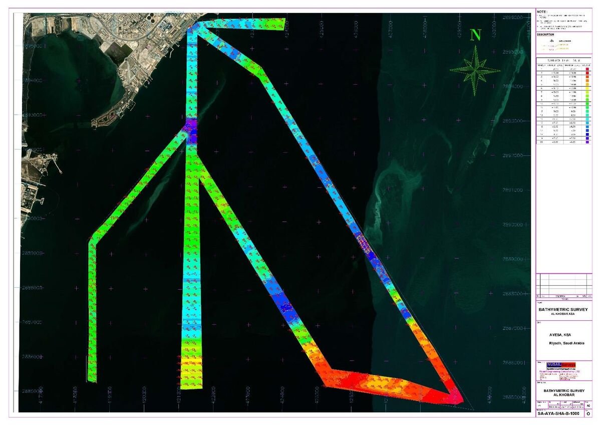
Seawater quality profiles at Al Khobar, bathymetry at Doga & Shoiba, Red Sea desalination programme.
Filter by discipline. Locations and clients are shown as recorded on each project file.
Seabed profiling at the RO plant intake to ±50 mm vertical accuracy, verified by bar check.
High-resolution seabed and subsurface survey with ADCP current measurement for the port redevelopment.

Baseline seabed profiles along the dredging corridor for safe marine development.

Offshore seabed mapping at 10 m line spacing with 0.5 m contours for harbour design.
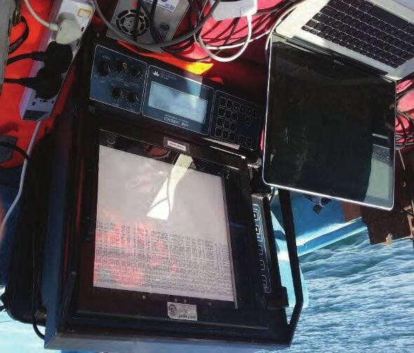
Intake and outfall survey specified to IHO S-44 Order 1a, with full lunar-cycle ADCP and wave buoys.
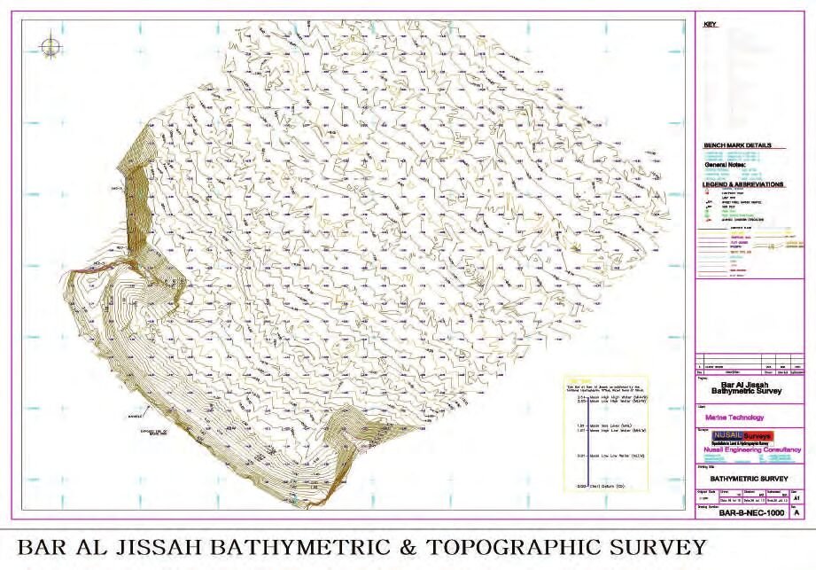
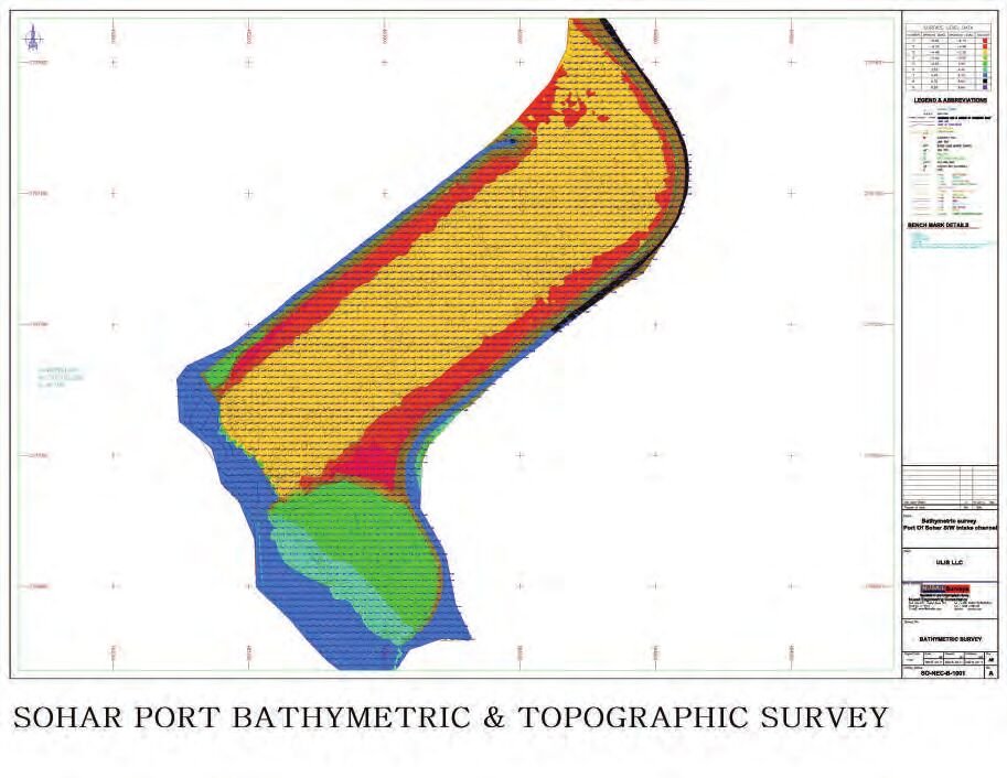
Seabed profiling along the dredging zone at 20 m intervals for operational safety.

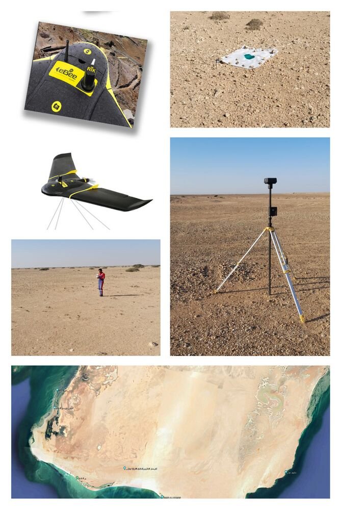
Corridor mapping with RTK photogrammetry and LiDAR for rapid, dense terrain capture.
Registered point clouds of a live facility for BIM and as-built documentation.
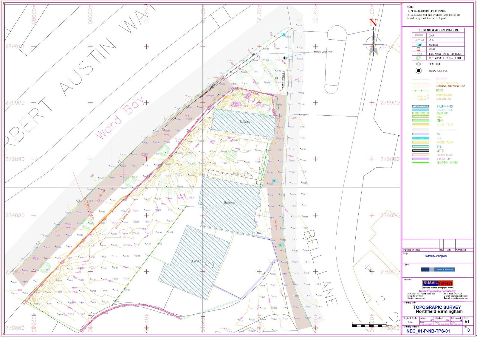
Geodatabase build and web-GIS dashboard for asset and utility management.
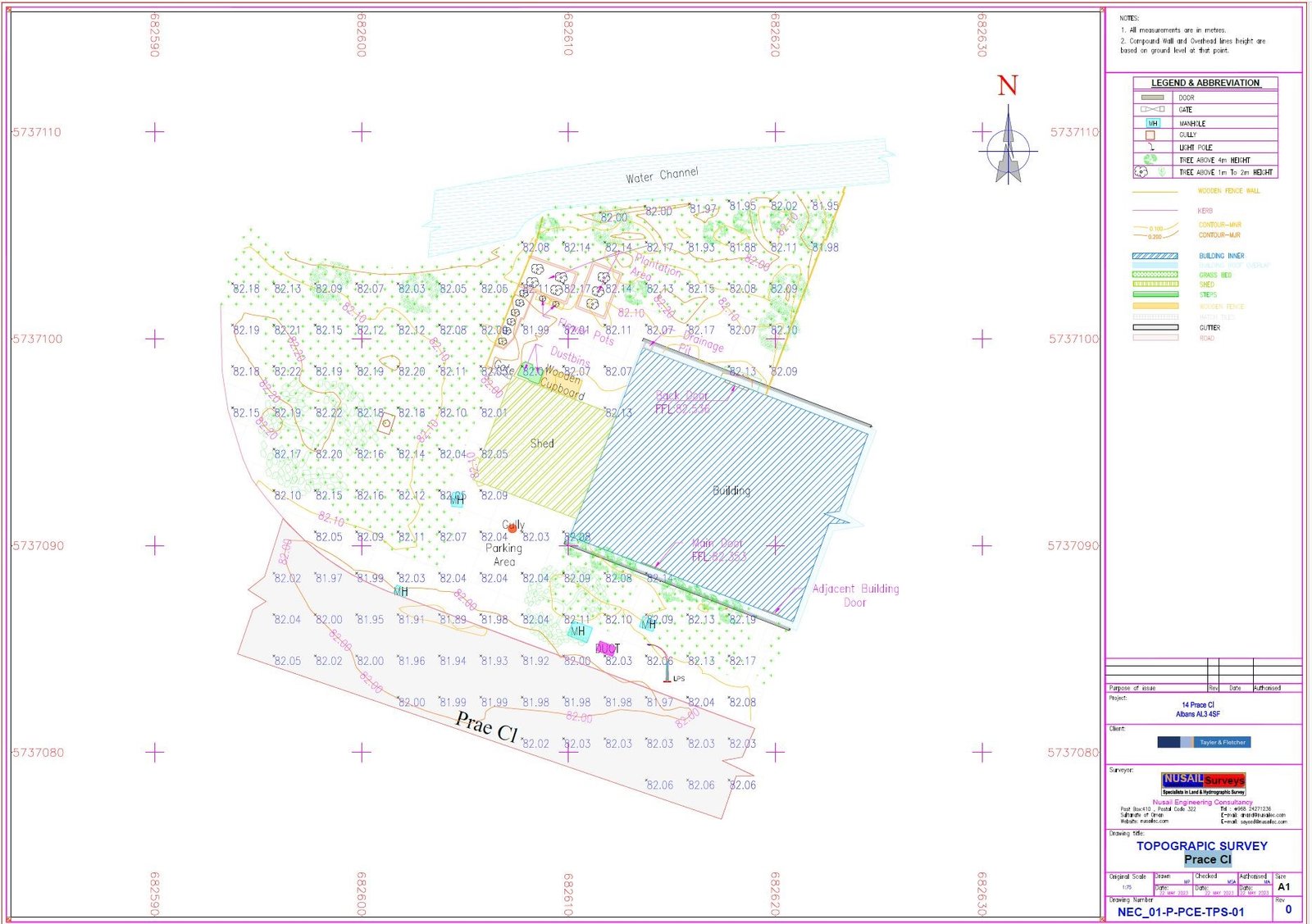
Underground utility detection and mapping to de-risk excavation and design.
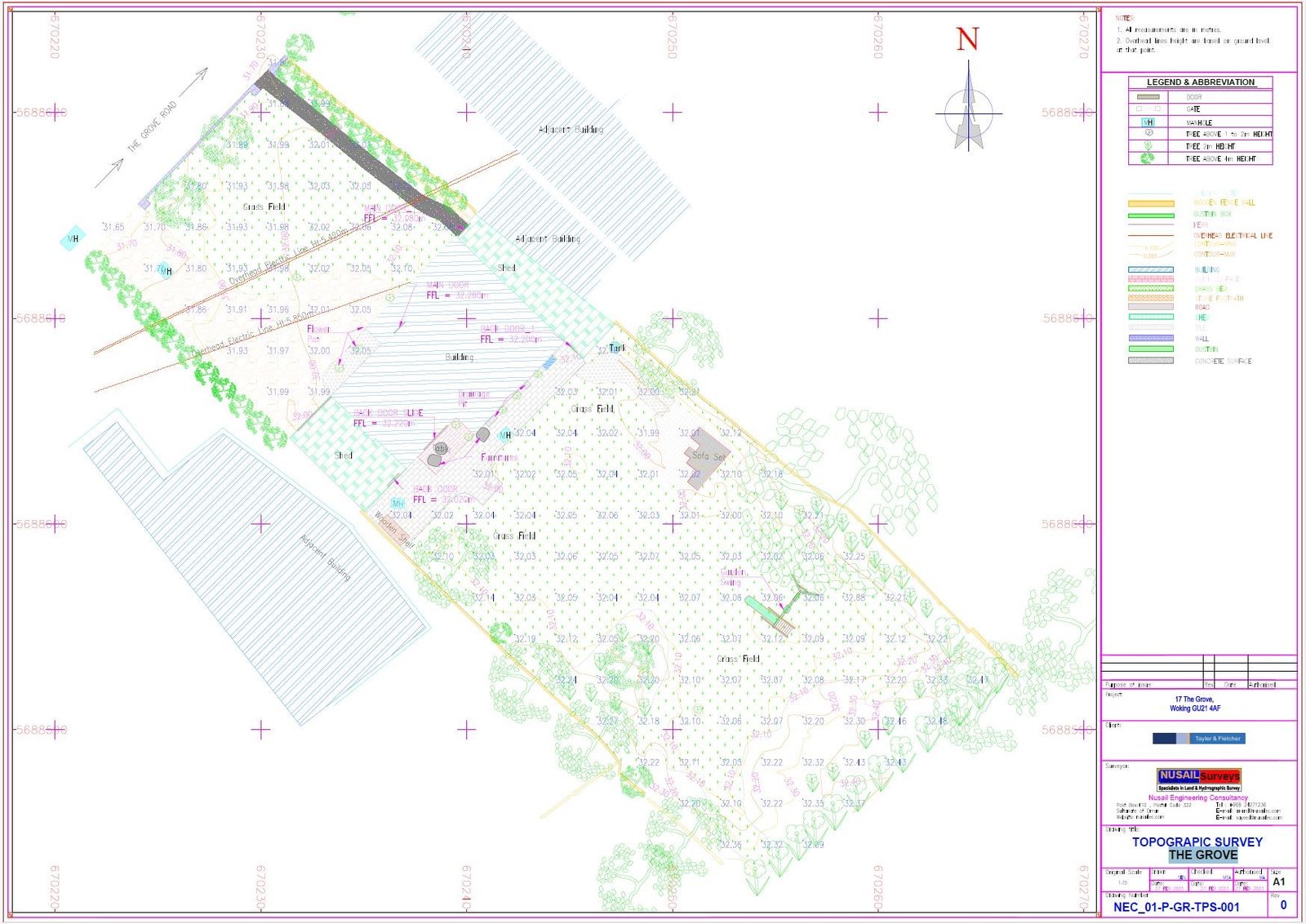
Detailed topographic and control survey supporting highway design and earthworks.
Every deliverable states its datum, accuracy and verification method — so your engineer can check it rather than take it on trust.
Trusted on engineering, marine & government programmes














Send your site, scope and timeline. The GIS Mappers team will review the brief and confirm the appropriate quotation process.