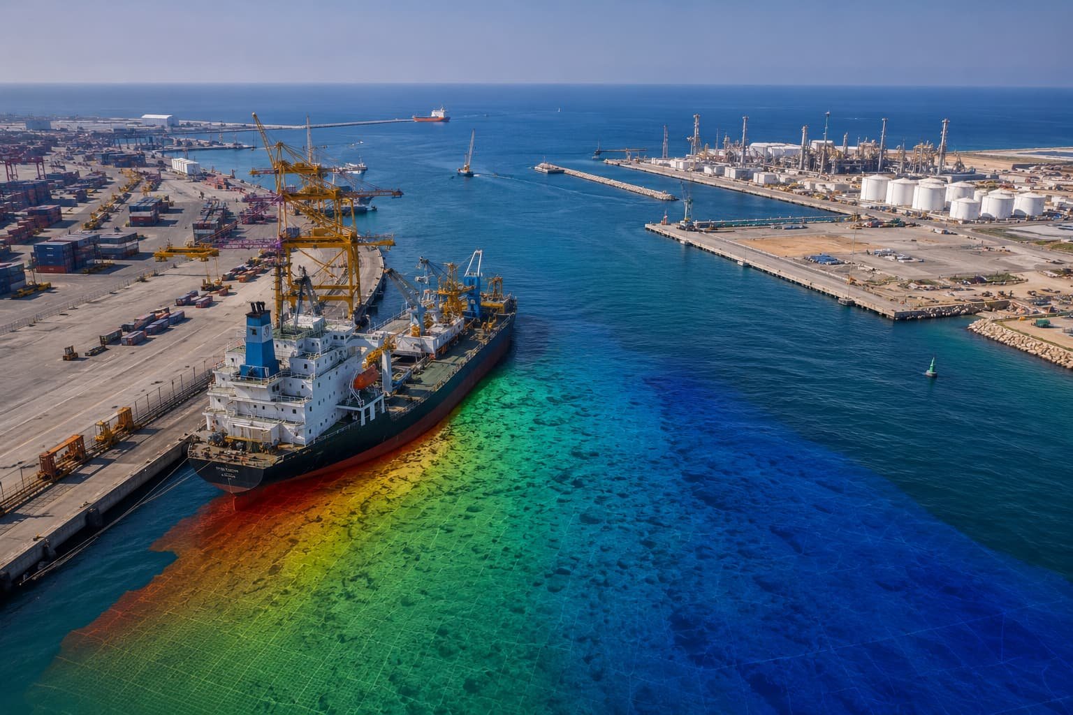
 PORTS & HARBOURS
Sohar, Duqm & Khasab bathymetry
Pre- and post-dredging bathymetric and hydrographic campaigns across three Omani ports — berth clearance, siltation monitoring and dredge verification.
View project records
One dataset serves many decisions. We tune capture, processing and deliverables to your sector's standards — so the same field work answers the engineer, the operator and the regulator.
Every sector below is served by the same documented control, calibration and QA chain — only the deliverables and standards change.
Control, setting-out, topographic detail and as-built verification — the data behind position, pour and programme sign-off.
02Hydrographic, bathymetric, metocean and geophysical surveys that fix design depths and conditions for marine works.
03Pre- and post-dredging bathymetry, quay-wall and berth surveys — the evidence for paying the dredger and declaring depths.
04Site survey, terrain modelling and asset mapping that settle layout, cable routes and access for solar, wind and grid.
05Pipeline routes, utility detection, intake/outfall and reservoir surveys that confirm alignments and prevent strikes.
06Corridor mapping, DTMs, cross-sections and earthwork volumes that fix alignments and certify contractor quantities.
07Topographic, GIS and 3D data on which masterplans, plot boundaries and smart-city platforms are approved.
08Habitat, shoreline and environmental mapping that supports consent decisions and quantifies change over time.
09Stockpile volumes, pit surveys and periodic monitoring — the figures behind reserves, royalties and reconciliation.
10Authoritative spatial data for authorities and public programmes — the base layer for planning and asset registers.
Three snapshots from the project record — one for each of the sectors that ask the hardest questions of survey data.
PORTS & HARBOURS
Pre- and post-dredging bathymetric and hydrographic campaigns across three Omani ports — berth clearance, siltation monitoring and dredge verification.
View project records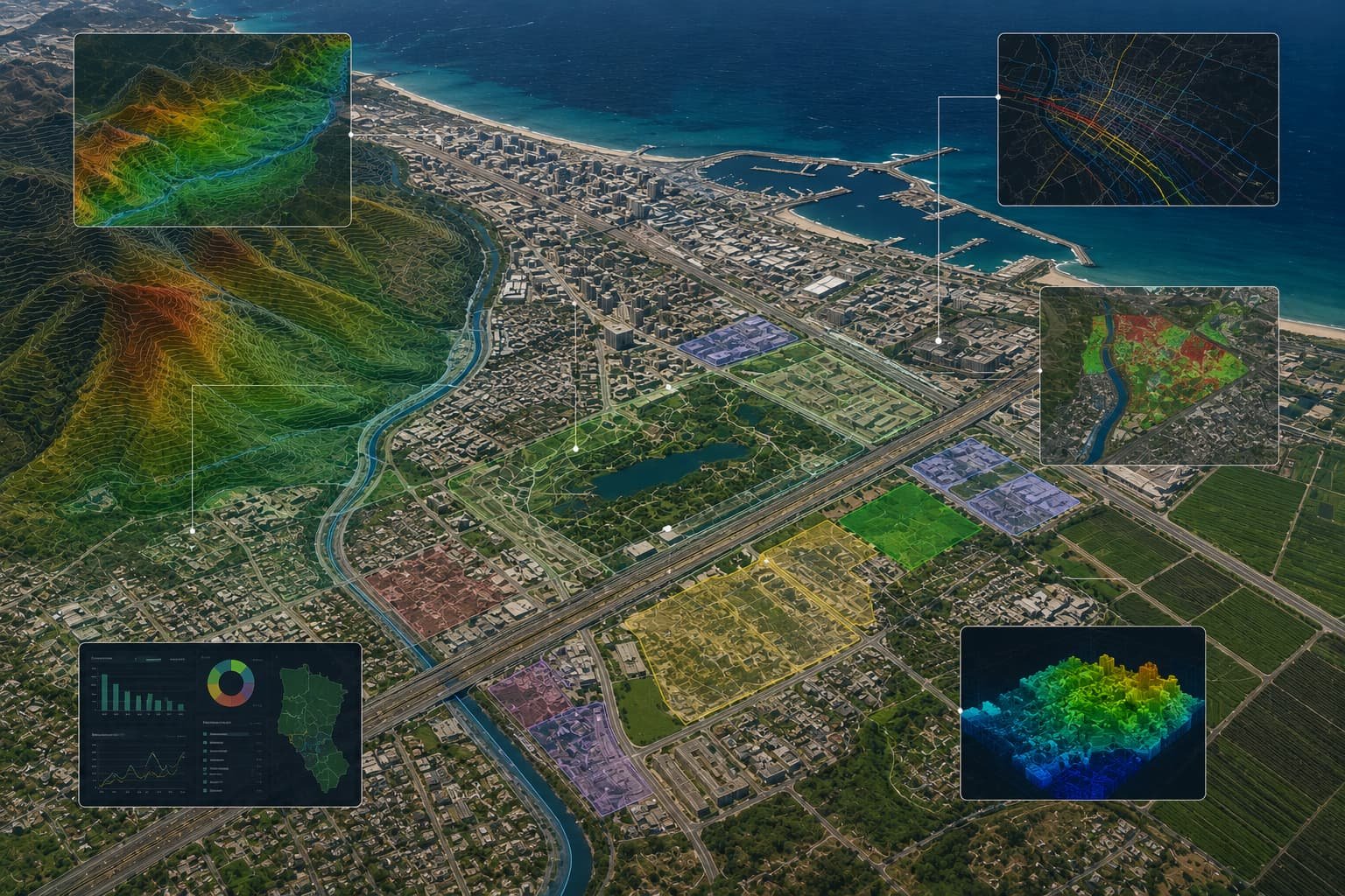 GOVERNMENT
Authoritative mapping and survey programmes delivered for ministries and a Special Economic Zone authority — data fit for planning and regulation.
View project records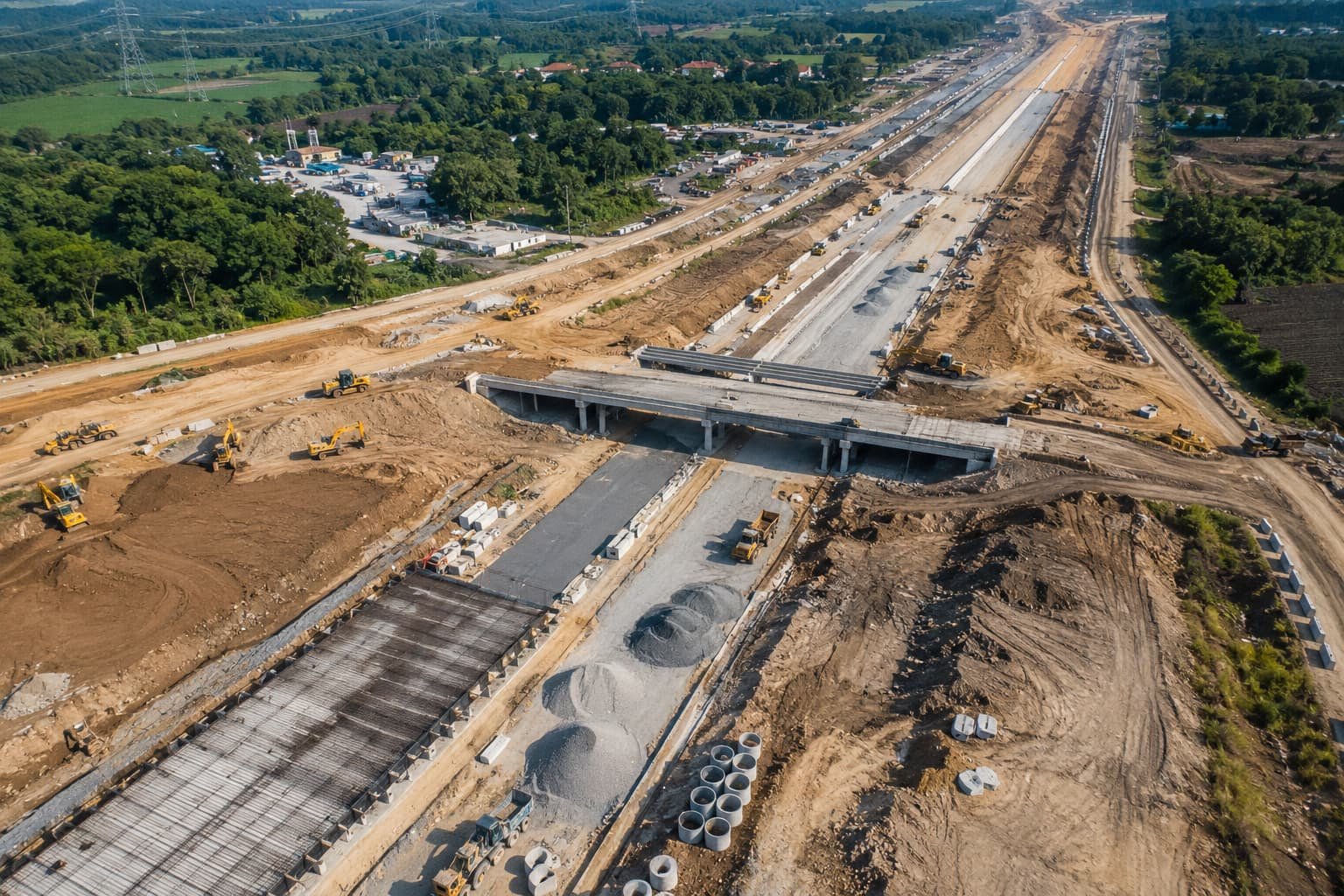 ENGINEERING
Repeat survey programmes for engineering consultancies and industrial operators — the kind of work that is only repeated when the data holds up.
View project recordsPorts, coastal works, intakes and offshore energy — S-44 aligned charts, dredge volumes, metocean and geophysical data.
Explore survey servicesConstruction, roads, urban and energy sites — from control networks and terrain models through to as-built verification.
Explore survey servicesUtilities, government and industrial estates — living geodatabases, deformation monitoring and the platforms that keep data queryable.
Explore the softwareSend your sector, site and timeline. The GIS Mappers team will review the brief and confirm the appropriate contact and quotation process.