
Software
Marine & Coastal Software
Port & harbour GIS, coastal & shoreline monitoring, dredging progress and hydrographic data management for marine authorities and contractors.
OverviewCustom solution on enquiry
Marine & Coastal Software
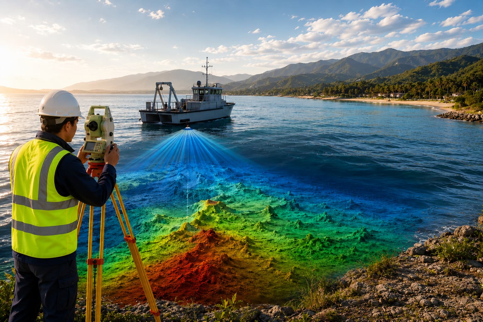
We provide marine and coastal software systems for ports, harbours, coastal authorities, dredging contractors, offshore survey teams and marine engineering consultants — hydrographic data management, shoreline monitoring, marine assets, bathymetric layers, dredging progress and harbour GIS.
The proposed solution may integrate bathymetry, tides and survey outputs into one coastal picture.
Key features
- Port management systems
- Harbour GIS platforms
- Coastal monitoring
- Shoreline analysis
- Offshore survey management
- Marine asset tracking
- Dredging monitoring
- Hydrographic data management
Inputs
- Bathymetry & shoreline data
- Marine assets & dredging records
- Tide data & port layouts
- Satellite & drone imagery
- Hydrographic survey outputs
Outputs
- Harbour GIS dashboards
- Coastal monitoring reports
- Dredging progress maps
- Shoreline change analysis
- Marine asset registers
- Hydrographic data portals
Custom solution on enquiry
Request a Demo
Designed for
Industries & workflows
Designed for survey, GIS, CAD, hydrographic and engineering workflows across these sectors.
FAQ
Questions, answered
Can it track dredging progress?
Yes — bathymetric surfaces are compared over time to show progress, volumes and remaining works.
Does it manage historic survey data?
Yes — a hydrographic data portal keeps surveys, tides and assets organised and queryable.
Let's build it together
Ready to turn field data into decisions?
Talk to our survey, software and GeoSystems specialists about your next project. Fast, professional, no-obligation quotations.