What it does
Capture field observations with structured forms, coordinates, notes and supporting photos.

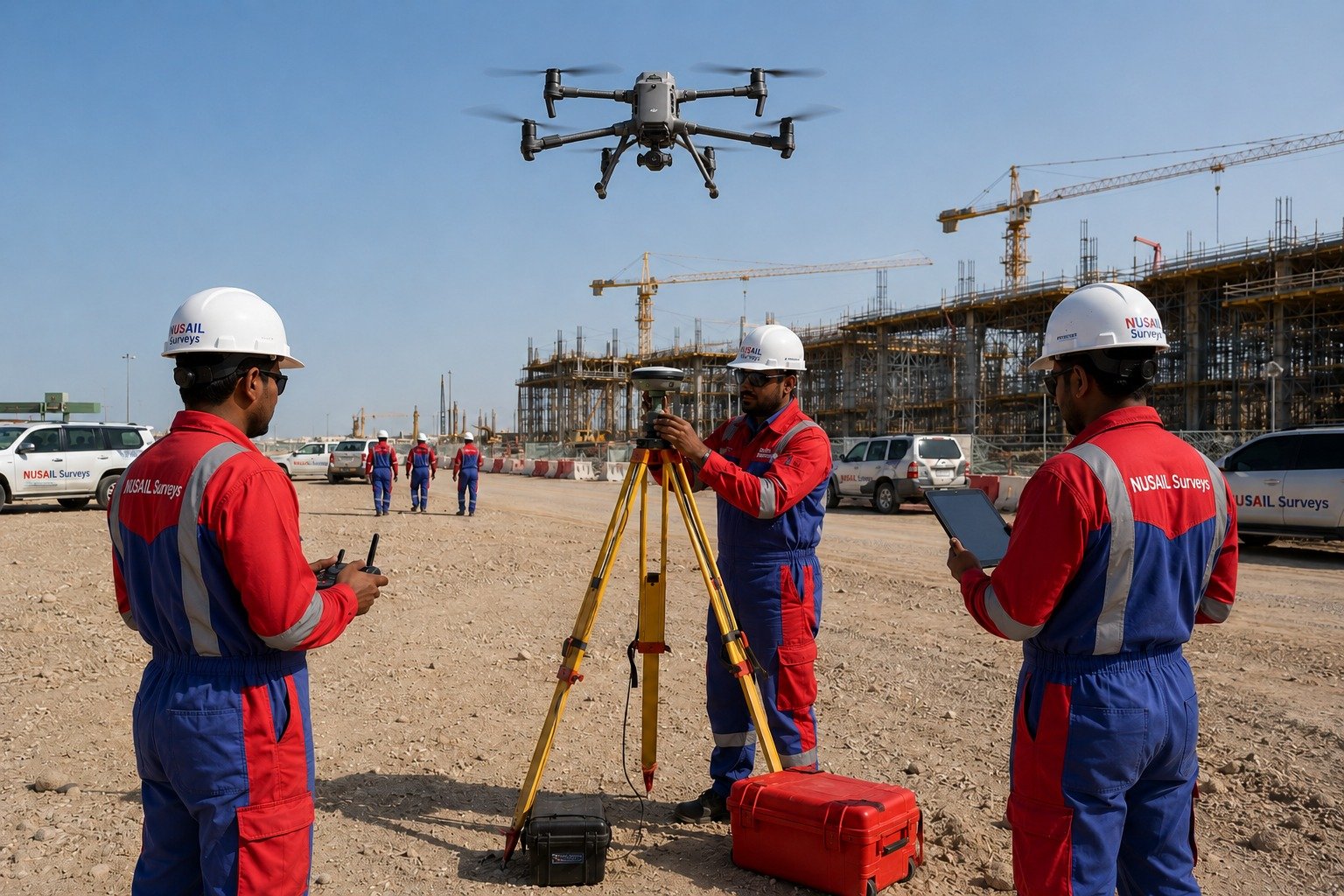
Field data capture software for coordinates, forms, notes, photos, GNSS observations and structured survey collection.
Field data capture software for coordinates, forms, notes, photos, GNSS observations and structured survey collection.
Capture field observations with structured forms, coordinates, notes and supporting photos.
Related survey image used for this product page.
Capture field observations with structured forms, coordinates, notes and supporting photos.
Organise GNSS-linked field data in a way that is easy to transfer into office processing workflows.
Support reliable collection on live projects where field teams need consistent records and job structure.
This product is relevant to the following workflow areas and project contexts.
Talk to our team about demonstrations, deployment options and how this product fits your survey or engineering workflow.