What it does
Import depth observations, survey lines and support data into one controlled bathymetric workflow.

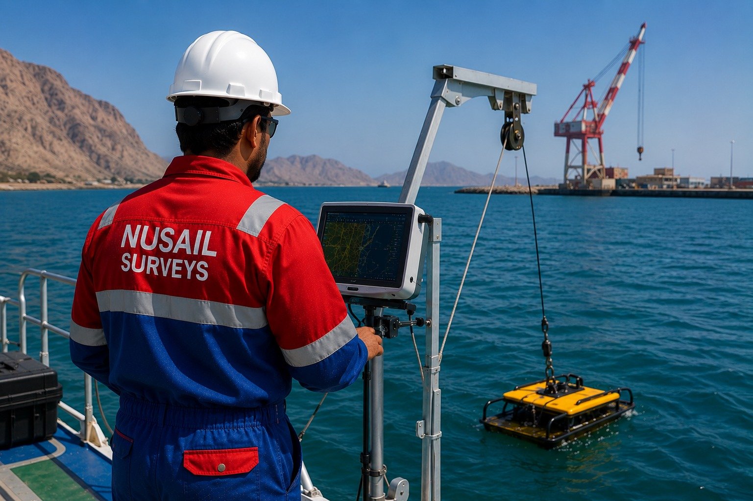
Hydrographic and bathymetric survey workflow for depth data, cross-sections, seabed models and marine deliverables.
Hydrographic and bathymetric survey workflow for depth data, cross-sections, seabed models and marine deliverables.
Import depth observations, survey lines and support data into one controlled bathymetric workflow.
Related survey image used for this product page.
Import depth observations, survey lines and support data into one controlled bathymetric workflow.
Process cleaned soundings into cross-sections, seabed models, contours and reporting outputs.
Support marine projects with dependable data review, quality control and final deliverable preparation.
This product is relevant to the following workflow areas and project contexts.
Talk to our team about demonstrations, deployment options and how this product fits your survey or engineering workflow.