
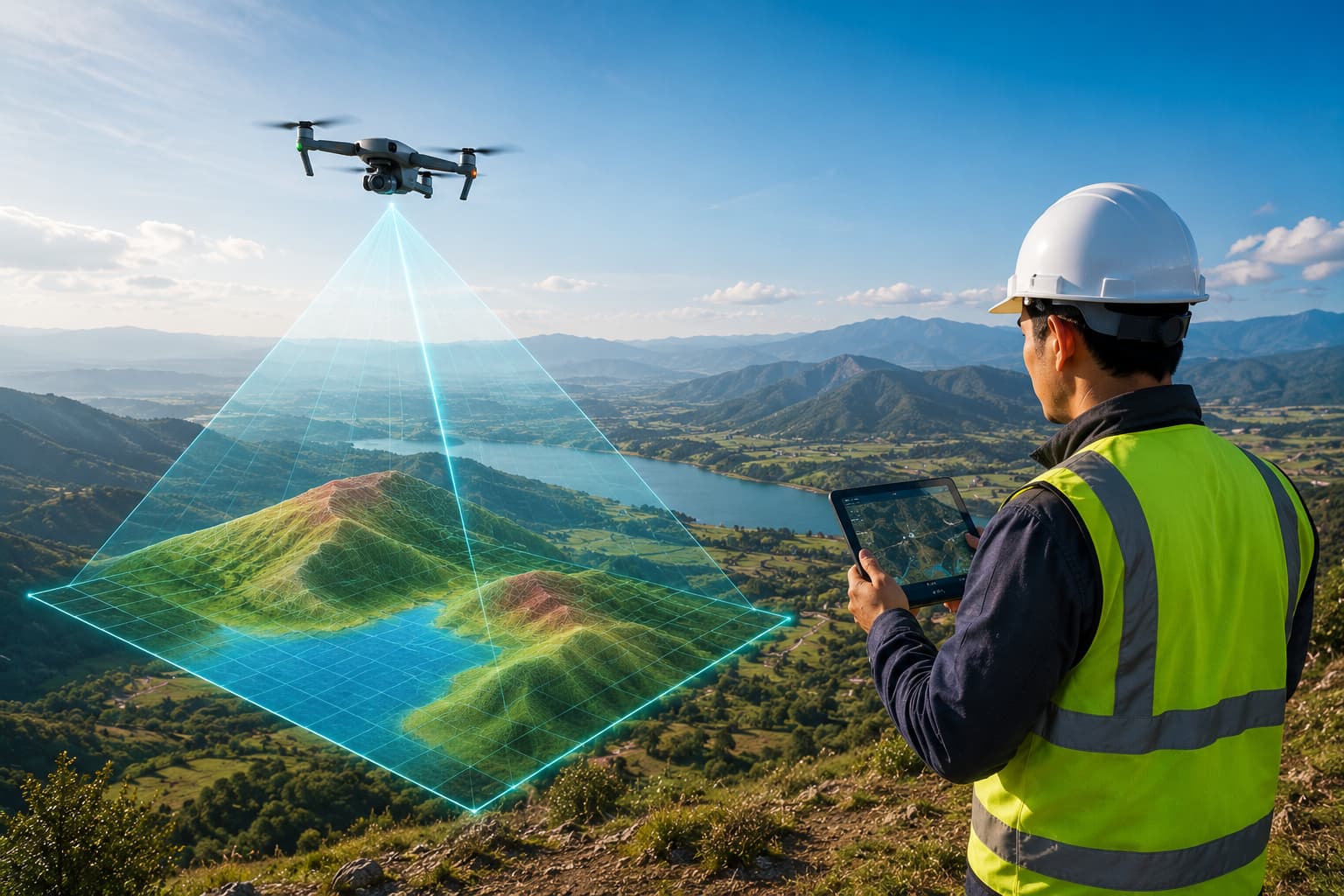
Drone / UAV Mapping
RTK/PPK drone and UAV mapping — orthomosaics, photogrammetric models and LiDAR for fast, dense, accurate terrain capture.
Drone / UAV Mapping
UAV survey lets us cover large or hard-to-access sites quickly and safely, producing high-resolution orthomosaics, point clouds and surfaces. With onboard RTK/PPK and good ground control we deliver genuinely survey-grade results.
We fly photogrammetry and LiDAR payloads depending on vegetation, accuracy and deliverable needs — and process everything into the CAD/GIS outputs your team uses.
Scope of work
- RTK/PPK aerial photogrammetry
- UAV LiDAR capture
- Orthomosaic & DSM/DTM production
- Volume & stockpile surveys
- Corridor & pipeline mapping
- Inspection imagery
Methodology
Plan flights, NOTAM/permissions & ground control
Fly with RTK/PPK at the required GSD
Process imagery/LiDAR to point cloud & surface
Classify, model and QC against control
Equipment & technology
- DJI RTK survey UAV
- UAV LiDAR payload
- GNSS ground control
- Photogrammetry & point-cloud software
Deliverables
- Orthomosaic (GeoTIFF)
- Point cloud (LAS/LAZ)
- DSM & DTM
- Contours, volumes & CAD
Industries served
Questions, answered
RTK or PPK — which do you use?
How accurate is drone mapping?
Ready to turn field data into decisions?
Talk to our survey, software and GeoSystems specialists about your next project. Fast, professional, no-obligation quotations.