
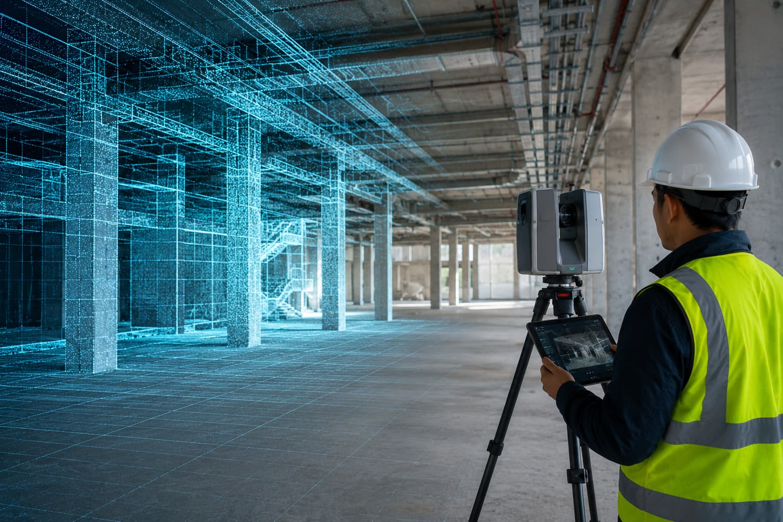
LiDAR & Point Cloud Solutions
Process terrestrial, mobile and UAV LiDAR and dense photogrammetry — classification, scan-to-CAD, scan-to-BIM, digital twins and 3D asset modelling.
LiDAR & Point Cloud Solutions
We create software workflows for processing terrestrial laser scanning, mobile LiDAR, UAV LiDAR and dense photogrammetry point clouds — classification, cleaning, feature extraction, scan-to-CAD, scan-to-BIM, asset modelling, digital-twin preparation and 3D visualisation.
Designed for as-built, infrastructure, plant and heritage projects where dense, measurable 3D data is the deliverable.
Key features
- Point cloud classification
- Mobile LiDAR processing
- UAV LiDAR processing
- Scan-to-CAD
- Scan-to-BIM
- Digital twin creation
- Feature extraction
- 3D asset modelling
Inputs
- LAS, LAZ, E57, PLY, XYZ
- RCP / RCS
- Drone point clouds
- Mobile LiDAR data
- Terrestrial laser scans
Outputs
- Classified point clouds
- CAD linework
- BIM-ready models
- Asset & digital-twin datasets
- 3D visualisations
- Inspection reports
Industries & workflows
Designed for survey, GIS, CAD, hydrographic and engineering workflows across these sectors.
Questions, answered
Scan-to-BIM to what LOD?
Mobile and UAV LiDAR too?
Ready to turn field data into decisions?
Talk to our survey, software and GeoSystems specialists about your next project. Fast, professional, no-obligation quotations.