
GIS Mappers — survey services
Land, marine, drone and GIS survey delivered in the field: topographic and engineering survey, bathymetric and hydrographic campaigns, 3D laser scanning, utility detection and monitoring.
Explore survey services
Survey services, processing software and survey technology under one roof — serving engineering, marine, infrastructure and government clients across the UK, Oman and Saudi Arabia.
GIS Mappers is an integrated survey, GIS and geospatial technology group with more than 25 years of survey experience, serving engineering, marine, infrastructure and government clients across the United Kingdom, Oman and Saudi Arabia.
What began as a specialist land and hydrographic survey practice in the Gulf has grown into three connected divisions — GIS Mappers for survey services, GIS Mappers Software for processing and automation, and GeoSystems for survey technology — closing the gaps that usually sit between data capture, data processing and the hardware behind both.
Field-to-finish means one accountable chain: the team that captures your data also processes it and supports the technology it was captured with. From pre-dredging bathymetric surveys at Gulf ports to RTK and LiDAR corridor mapping and 3D laser scanning of live assets, every deliverable leaves the office with documented datums and an auditable QA trail.
In plain terms: one contract, one point of contact, and no gap between the survey boat and the drawing you sign off.
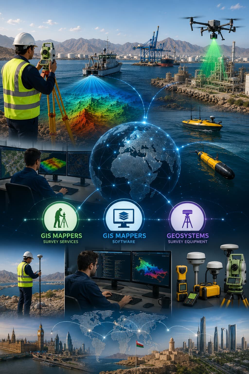 One team · Field to finish · UK · Oman · KSA
Each division stands on its own; together they remove the handovers that usually sit between fieldwork, processing and equipment.
Land, marine, drone and GIS survey delivered in the field: topographic and engineering survey, bathymetric and hydrographic campaigns, 3D laser scanning, utility detection and monitoring.
Explore survey servicesProcessing and automation tools that turn raw field data into CAD, GIS and web-mapping deliverables — from survey reduction and point-cloud workflows to feature extraction.
Explore the softwareGNSS, total stations, scanners, drones and hydrographic systems — supplied, configured and supported, with consultancy, training and calibration to keep field teams accurate.
Explore GeoSystemsTo deliver the survey, software and technology that lets clients design, build and manage infrastructure with confidence — field expertise, automation and the right equipment combined in one accountable service.
To be the trusted geospatial partner of choice across the UK, Gulf and global markets — chosen for documented accuracy, survey automation and a genuinely integrated field-to-office capability.
Calibrated equipment, redundant control and auditable datums on every survey. Accuracy statements you can put in front of an engineer — not a marketing figure.
Hydrography to IHO S-44, utility survey to PAS-128 and ISO-aligned QA/QC on every deliverable that leaves the office.
Capture, processing and technology support under one contract. No handover gaps — and no split responsibility when a question arises.
Training, calibration and technical support continue beyond handover. Most of our work is repeat business from long-term clients.
The same methodology, review chain and reporting wherever the site is — with local teams and local numbers in each region.
Surveyors, hydrographers, GIS analysts and software engineers working as one unit across the three divisions.
Send your site, scope and timeline. The GIS Mappers team will review the brief and confirm the appropriate quotation process.