Topographic Survey Software
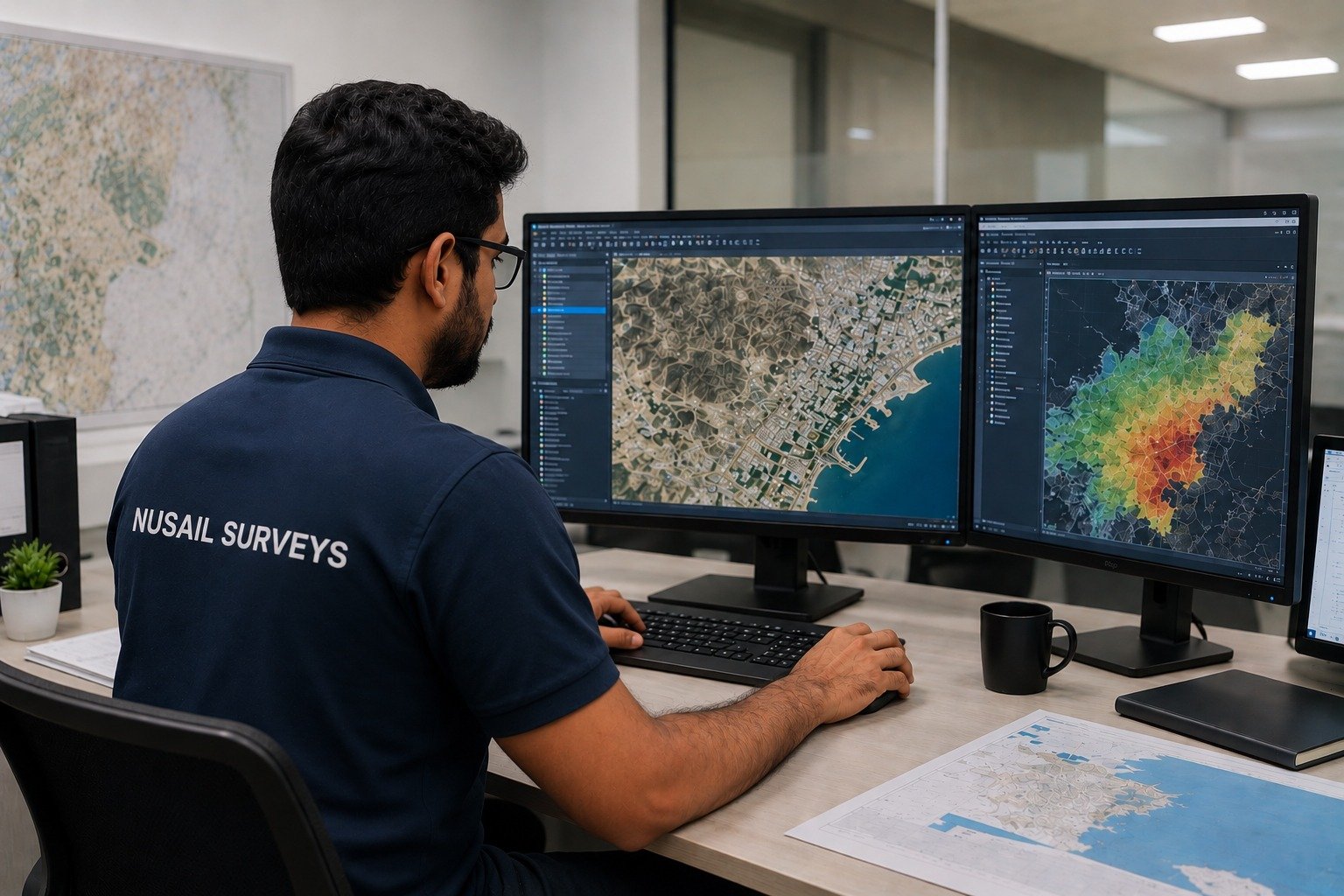
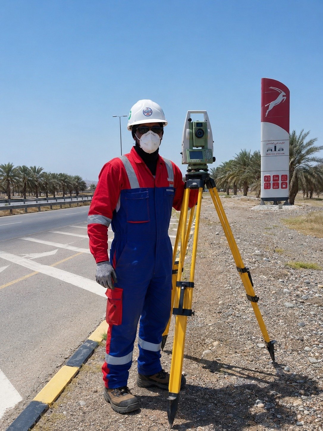
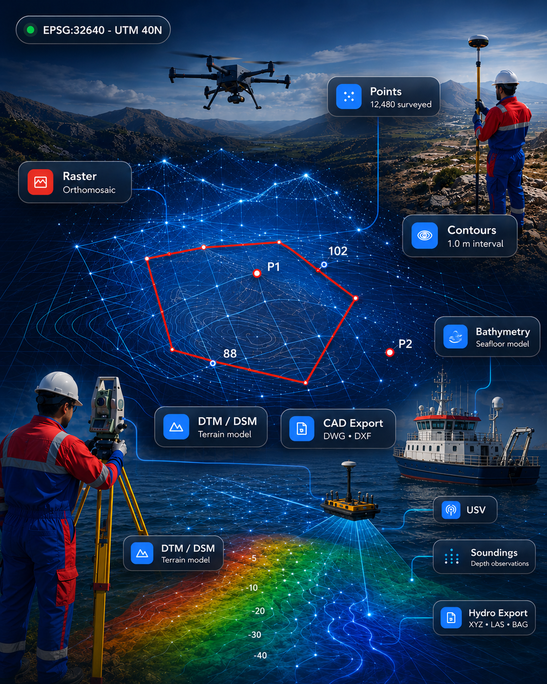
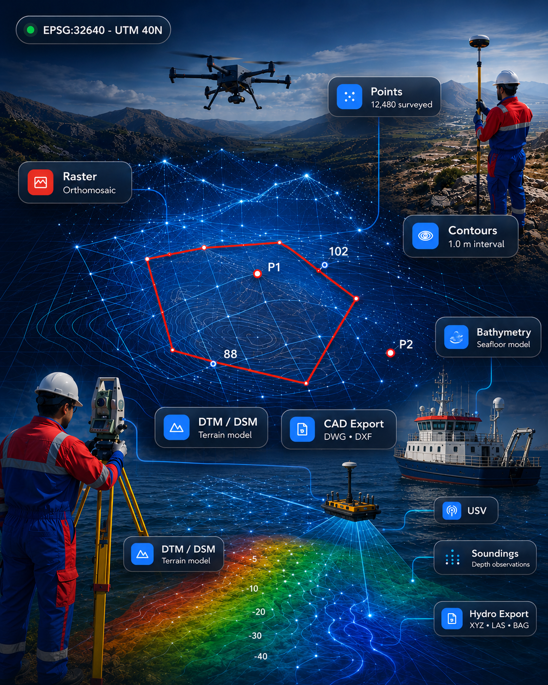
DTM/DSM, contours, surface modelling, earthworks and automated topographic deliverables from GNSS, total station, drone and LiDAR data.

Transforming geospatial data into intelligent workflows through automation, artificial intelligence, cloud technologies and advanced engineering software.
We develop, build and deploy custom survey software — available as custom development, pilot platform or enterprise deployment.
DTM/DSM, contours, surface modelling, earthworks and automated topographic deliverables from GNSS, total station, drone and LiDAR data.
Single & multibeam processing, tide & sound-velocity corrections, dredging volumes, cross-sections and marine reporting.
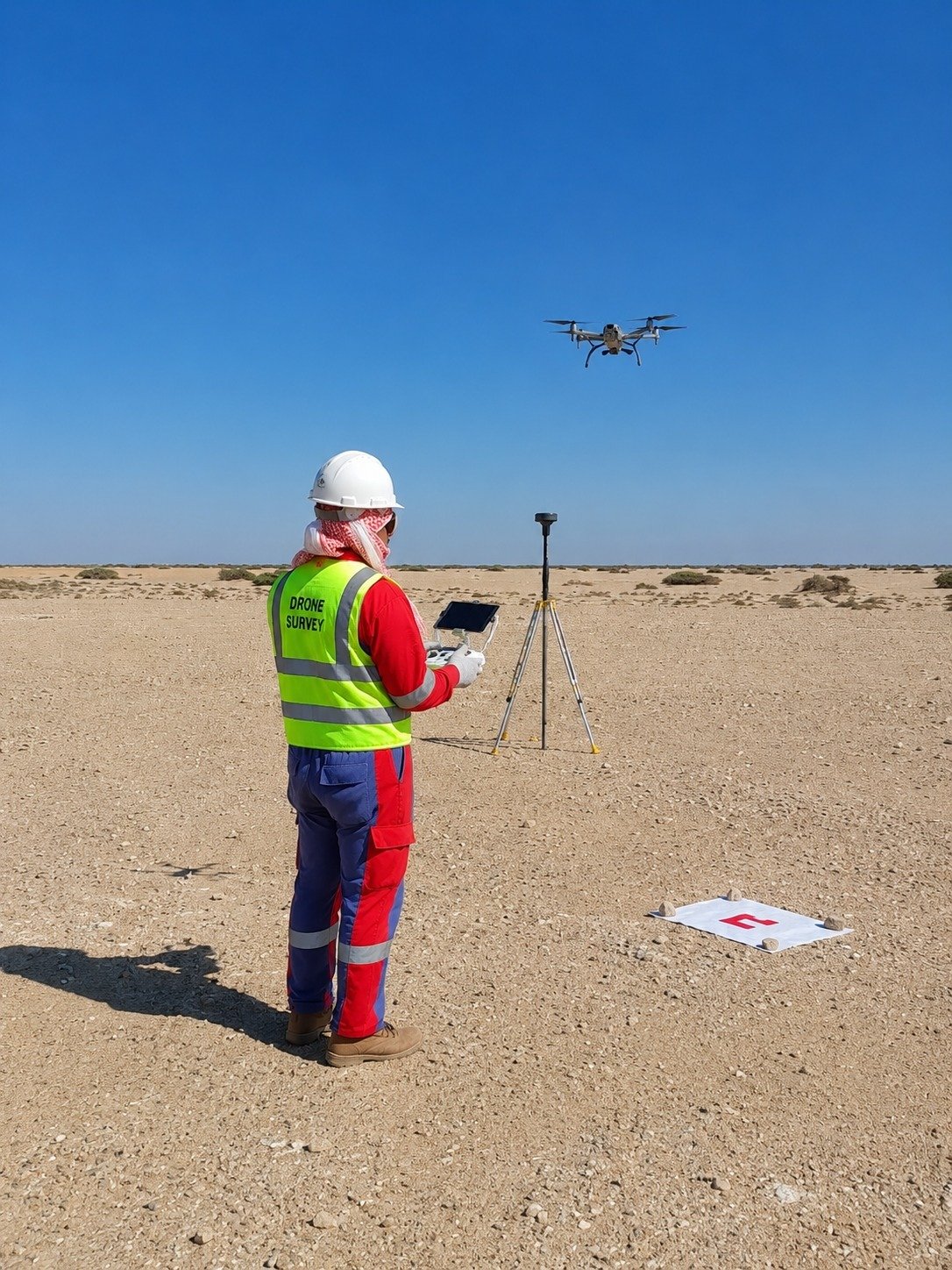
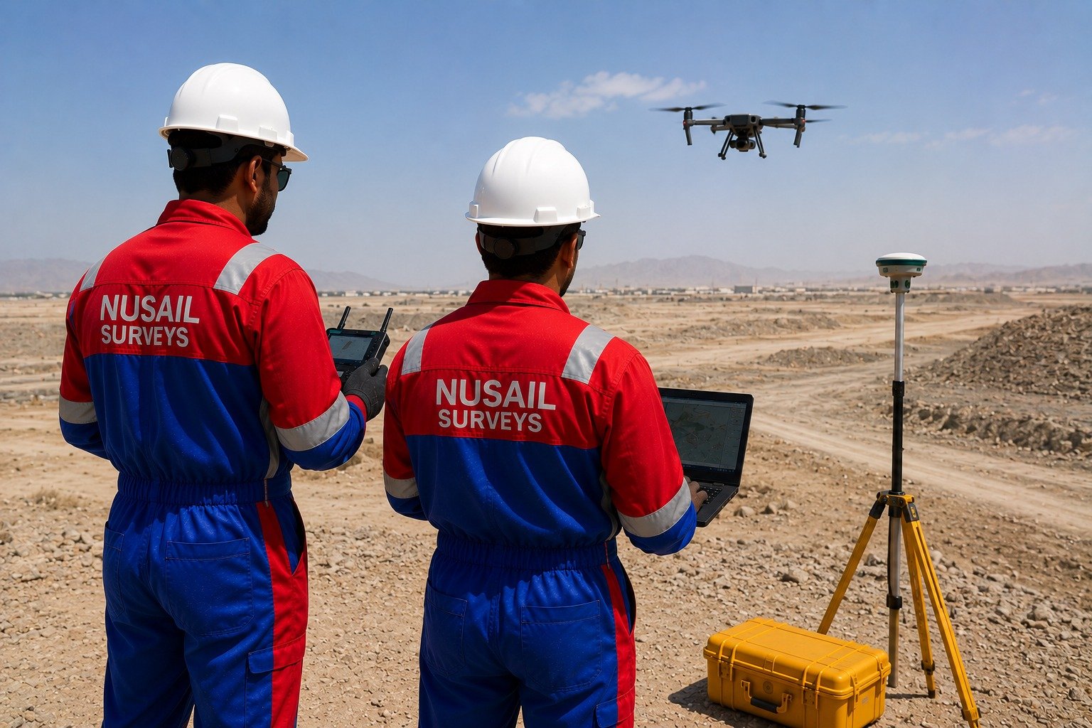
Flight planning, photogrammetry, orthomosaics, 3D models, point clouds, progress monitoring and inspection reporting.
Enterprise & web GIS, asset and utility portals, smart-city platforms, mobile GIS and interactive dashboards.
AutoCAD automation, survey drawing production, sheet layout, PDF/GIS-to-CAD conversion and drawing comparison.
Building, road, kerb, boundary and utility extraction from imagery and point clouds into CAD/GIS outputs.
Classification, scan-to-CAD, scan-to-BIM, digital twins and 3D asset modelling from LiDAR and dense point clouds.
Leads, clients, quotations, tenders, projects, equipment, scheduling and invoicing for survey & engineering firms.
Edit, measure, mark up, compare and convert technical drawings — PDF to CAD and PDF to GIS workflows.
Port & harbour GIS, coastal & shoreline monitoring, dredging progress and hydrographic data management.
Satellite & drone image analysis, change detection, land-cover classification and predictive geospatial analytics.
Connect GNSS, total stations, scanners, echo sounders, ADCP, drones and IoT sensors into real-time dashboards.
An end-to-end pipeline that takes raw field data through to secure, shareable deliverables.
Field survey, drone, marine & scanning data in any common format.
Cleaning, modelling, surfaces, point clouds and georeferencing.
Feature extraction, classification and repetitive tasks automated.
Standardised drawings, GIS layers and 3D models.
Volumes, QA/QC, comparison and management reports.
Secure dashboards, portals and shareable deliverables.
Software built by survey professionals, for survey professionals — with AI, cloud and enterprise architecture at its core.
Built for real survey, hydrographic and engineering workflows — not generic IT.
Machine learning removes the slow, repetitive steps in processing and mapping.
Secure, scalable cloud delivery with dashboards and portals.
Outputs flow cleanly into GIS, CAD and BIM environments.
One partner across land, marine and aerial survey software.
Designed to scale from a single tool to enterprise deployment.
Delivered for projects in the UK, Oman, Saudi Arabia and worldwide.
25+ years of practical field and office experience behind every tool.
Whether you need a single automation tool, a pilot platform or an enterprise rollout, we build software designed around your survey, GIS, CAD and engineering workflows.