What it does
Bring together GNSS, total station and coded linework workflows in one structured survey automation environment.

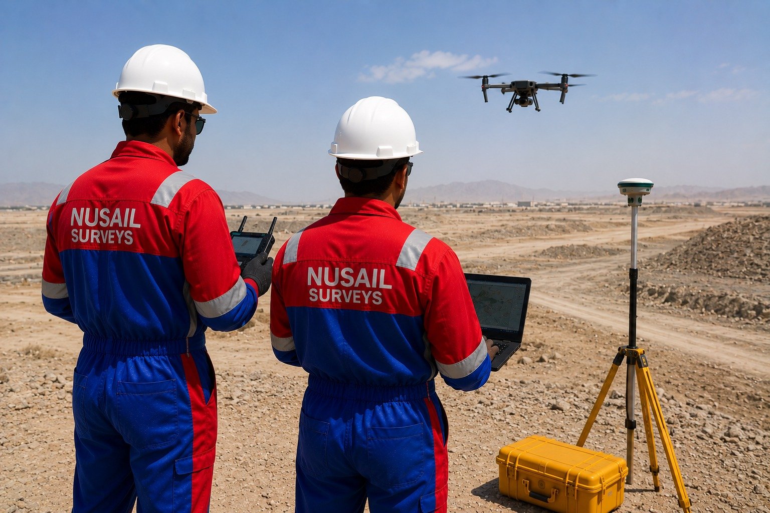
Field-to-finish survey automation software for GNSS, total station, coded linework, terrain modelling, contours and CAD/GIS export.
Field-to-finish survey automation software for GNSS, total station, coded linework, terrain modelling, contours and CAD/GIS export.
Bring together GNSS, total station and coded linework workflows in one structured survey automation environment.
Related survey image used for this product page.
Bring together GNSS, total station and coded linework workflows in one structured survey automation environment.
Reduce manual production time from field data through terrain modelling, contour generation and export.
Support faster delivery of clean CAD and GIS outputs for topographic and engineering projects.
This product is relevant to the following workflow areas and project contexts.
Talk to our team about demonstrations, deployment options and how this product fits your survey or engineering workflow.