
Service
Utility / GPR Survey
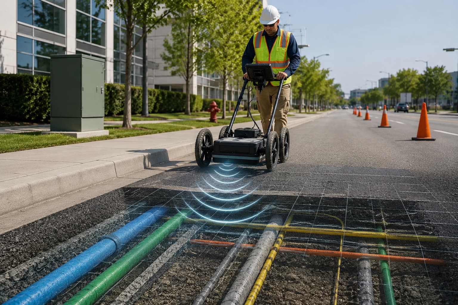
Underground utility detection and GPR survey — locate, map and de-risk buried services before you design or dig.
Overview
Utility / GPR Survey
We detect and map buried utilities using electromagnetic location and ground-penetrating radar, delivering a clear utility model that reduces strike risk and design clashes.
Surveys follow recognised quality levels so you understand the confidence behind every located service.
Scope of work
- Utility detection & mapping
- GPR surveys
- Clash & risk assessment
- Pre-construction utility surveys
- Manhole & chamber surveys
How we deliver
Methodology
01
Desktop study of records & statutory plans
02
EM location sweep of the site
03
GPR for non-conductive & deeper services
04
Map to quality levels and QC
Equipment & technology
- EM cable/pipe locators
- GPR systems
- GNSS/total-station positioning
- Utility mapping software
Deliverables
- Utility map (CAD/GIS)
- Quality-level attribution
- Risk register
- Survey report
Where it's used
Industries served
FAQ
Questions, answered
Can you find non-metallic pipes?
GPR helps detect non-conductive services such as plastic pipes and ducts, complementing EM location.
Do you map utilities to PAS 128-aligned quality levels?
We attribute detected utilities by survey quality level so confidence is explicit on every service.
Let's build it together
Ready to turn field data into decisions?
Talk to our survey, software and GeoSystems specialists about your next project. Fast, professional, no-obligation quotations.