
GeoSystems Integration
Connect GNSS, total stations, scanners, echo sounders, ADCP, drones and IoT sensors into real-time dashboards and field-to-office automation.
GeoSystems Integration
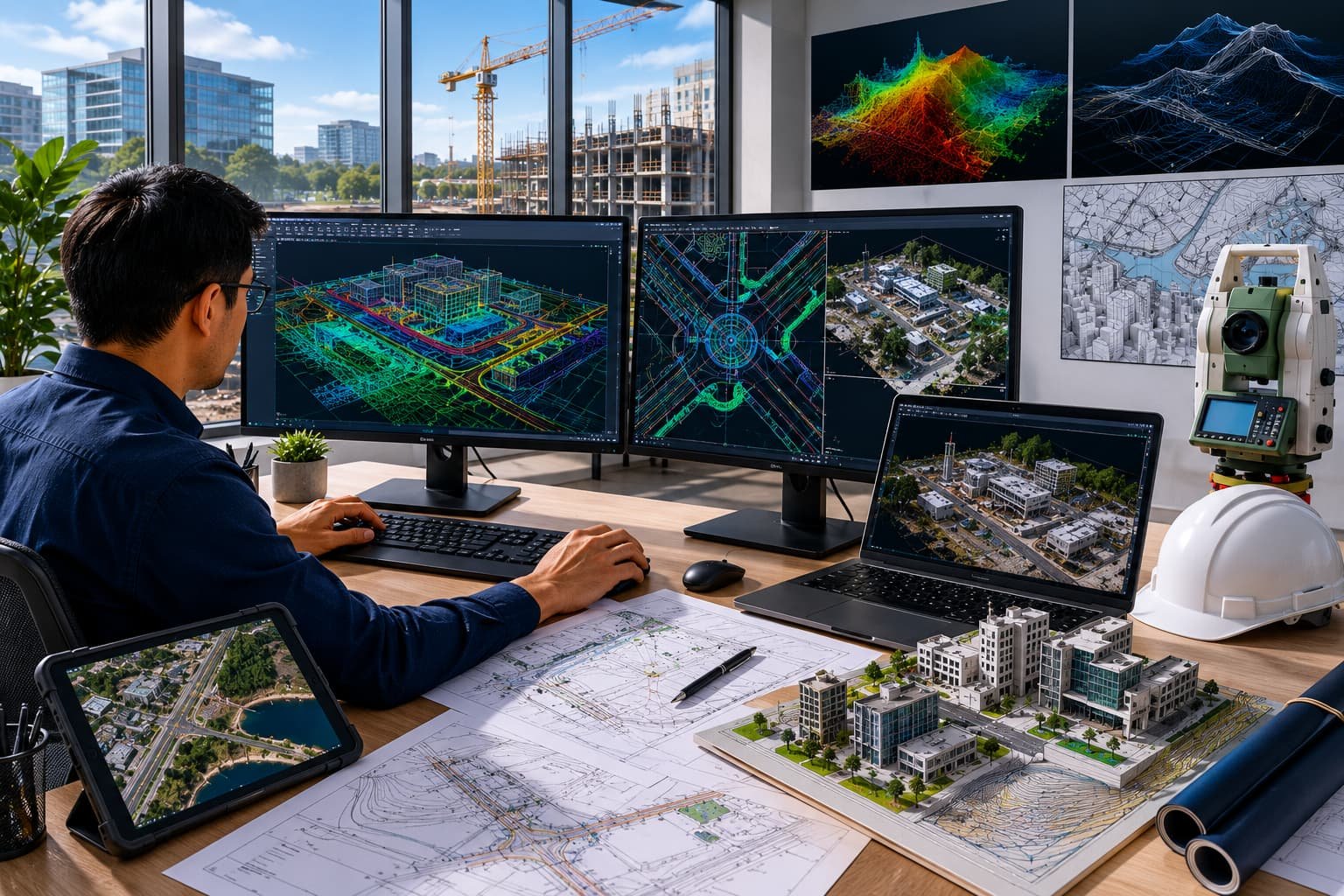
We create integration systems that connect survey instruments, sensors, marine equipment, drones, GNSS receivers, total stations, laser scanners, echo sounders, ADCPs and IoT devices into real-time dashboards and automated workflows — supporting field-to-office data transfer and monitoring.
Part of the GIS Mappers / GeoSystems group, these integrations link the hardware you own to the software you use.
Key features
- GNSS & RTK integration
- Total station integration
- Laser scanner integration
- Echo sounder integration
- ADCP integration
- Drone integration
- IoT sensors
- Real-time monitoring dashboards
Inputs
- GNSS/RTK data
- Total station observations
- Laser scanner & echo sounder data
- ADCP & drone data
- IoT sensor data & field logs
Outputs
- Real-time dashboards
- Equipment monitoring views
- Integrated GIS/CAD outputs
- Sensor reports & alerts
- Project data streams
Industries & workflows
Designed for survey, GIS, CAD, hydrographic and engineering workflows across these sectors.
Questions, answered
Does it work with our existing instruments?
Real-time or batch?
Ready to turn field data into decisions?
Talk to our survey, software and GeoSystems specialists about your next project. Fast, professional, no-obligation quotations.