
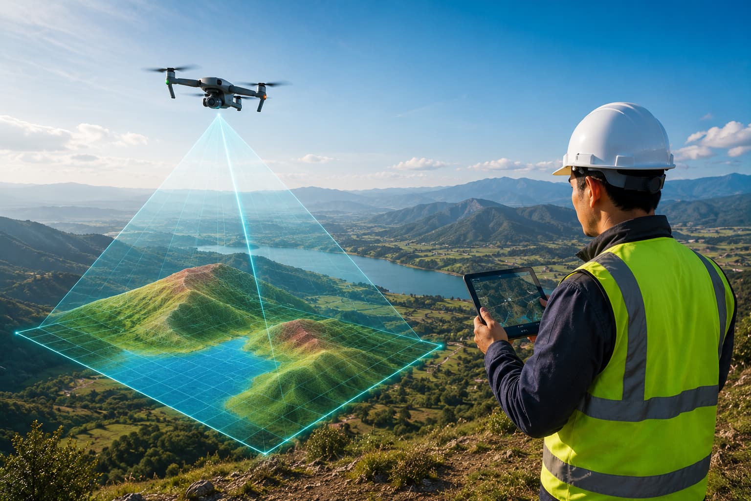
Drone & UAV Mapping Software
Plan UAV flights and manage photogrammetry, orthomosaics, point clouds, 3D models, progress monitoring and drone inspection reporting.
Drone & UAV Mapping Software
We develop software for drone mapping and UAV survey — flight planning, orthomosaic management, photogrammetry workflows, point-cloud and 3D-model outputs, site progress monitoring and inspection reporting.
Designed for construction, quarry, infrastructure, renewable energy, coastal, industrial and environmental projects, the tools turn drone imagery and RTK/PPK logs into measurable, CAD/GIS-ready deliverables.
Key features
- Flight planning tools
- Orthomosaic generation
- Photogrammetry processing
- 3D model generation
- Point cloud creation
- Progress monitoring
- Change detection
- Drone inspection reporting
Inputs
- Drone images
- RTK/PPK logs & GCP data
- Orthomosaics
- Point clouds, DSM, DTM
- GeoTIFF, LAS/LAZ
- Inspection photos
Outputs
- Orthomosaic maps
- 3D models & point clouds
- Progress comparison reports
- Change detection maps
- Inspection reports
- CAD / GIS deliverables
Industries & workflows
Designed for survey, GIS, CAD, hydrographic and engineering workflows across these sectors.
Questions, answered
Do you support RTK/PPK drones?
Can it track site progress over time?
Ready to turn field data into decisions?
Talk to our survey, software and GeoSystems specialists about your next project. Fast, professional, no-obligation quotations.