Marine Survey - Chemical Oceanography - Metocean Services
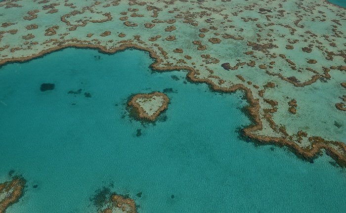
At GISMappers, we specialize in transforming satellite imagery into precise geospatial insights using cutting-edge remote sensing and AI-powered GIS technologies. Our services support a wide array of industries including infrastructure mapping, environmental monitoring, urban planning, and marine surveys.
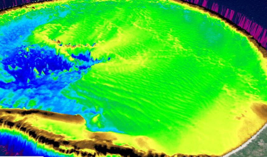
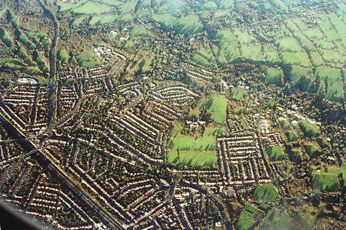
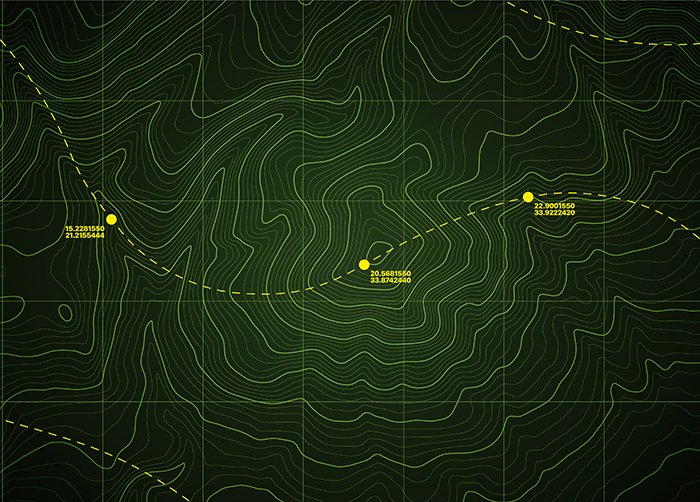
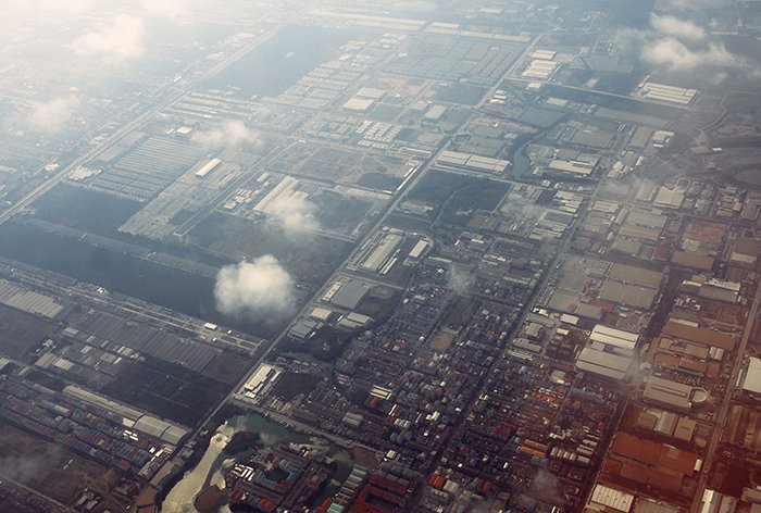
Leveraging satellite data mapping, we offer solutions such as satellite-derived bathymetry (SDB), terrain analysis, topographic surveys, and air quality monitoring. This empowers clients to make informed decisions with real-time earth intelligence, ideal for smart city planning, coastal zone management, and disaster mitigation.
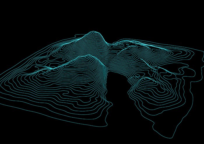
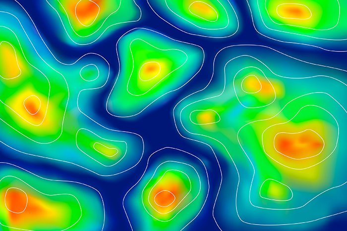
Our expertise combines LiDAR surveys, 3D laser scanning, BIM modeling, and predictive GIS modeling for comprehensive project delivery. With the integration of IoT GIS solutions and cloud-based GIS platforms, we deliver scalable, accurate, and actionable intelligence for both terrestrial and marine environments.
© Copyright 2025. All Rights Reserved by GISMappers Saudi Arabia