GIS Mapping
Habitat and Ecological Mapping and Classification Services | GISMappers

Habitat and Ecological Mapping and Classification

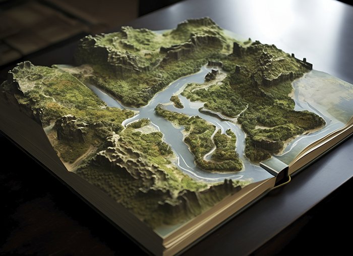
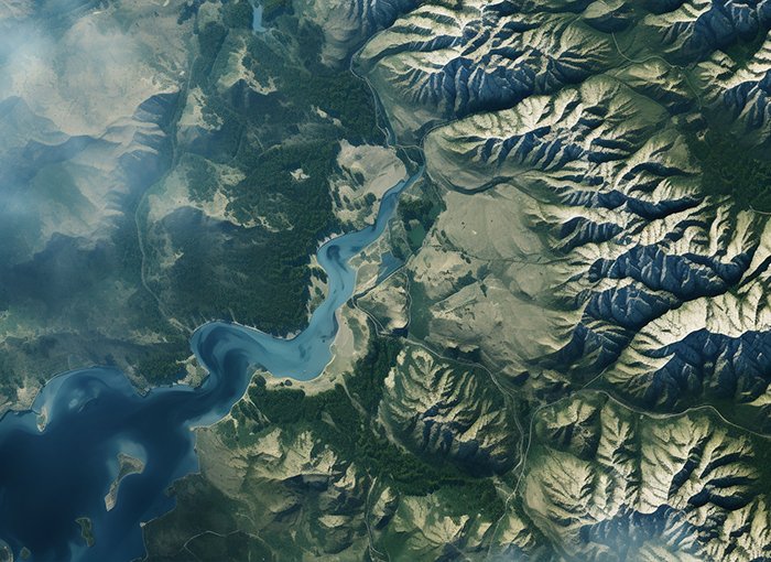
Habitat and Ecological Mapping and Classification is an advanced method of using satellite and remote sensing data to monitor and analyze ecosystems. This technique provides valuable insights into biodiversity, land cover changes, and ecosystem health, helping in environmental management, conservation planning, and sustainable development.

At GISMappers, we utilize high-resolution satellite imagery, LiDAR, and AI-powered data processing to classify and map habitats across terrestrial, freshwater, and marine ecosystems. Our innovative solutions assist in tracking species distribution, detecting habitat degradation, and supporting climate resilience strategies.

Habitat Mapping
Ecological Classification

Key Features & Benefits:

1. Comprehensive Ecosystem Monitoring
  • Uses remote sensing to assess habitat health and biodiversity.
  • Identifies key ecological changes due to natural or human activities.
2. High-Resolution Habitat Classification
  • Differentiates between forest, wetlands, grasslands, and marine ecosystems.
  • Supports environmental protection and land-use planning.
3. Conservation & Wildlife Protection
  • Helps in identifying critical habitats for endangered species.
  • Assists in designing conservation strategies for protected areas.
4. Climate Change Impact Assessment
  • Tracks deforestation, desertification, and coastal erosion.
  • Provides data to support climate adaptation policies.
5. Sustainable Land & Resource Management
  • Enables responsible land-use decision-making.
  • Assists in preventing ecosystem degradation.
6. AI & GIS Integration for Advanced Analytics
  • Uses AI-driven classification models for habitat mapping.
  • Integrates with GIS for real-time monitoring and predictive modeling.
Applications of Habitat and Ecological Mapping:
  • Biodiversity Conservation & Protected Area Management
  • Land Cover Change Detection
  • Coastal & Marine Habitat Mapping
  • Forest & Wetland Monitoring
  • Agricultural and Pastureland Management

At GISMappers, we are dedicated to providing cutting-edge satellite-based habitat mapping and ecological classification services. By leveraging remote sensing technology, AI analytics, and GIS expertise, we help organizations and governments make informed decisions for environmental conservation and sustainable resource management.

L o a d i n g