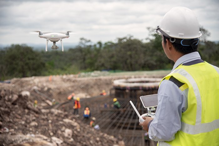
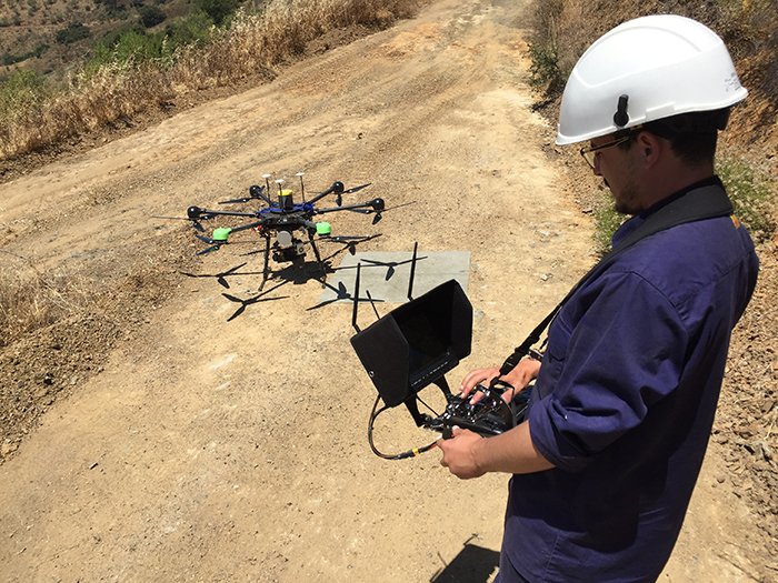
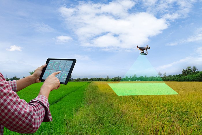
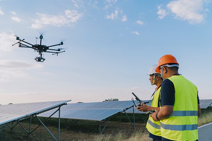
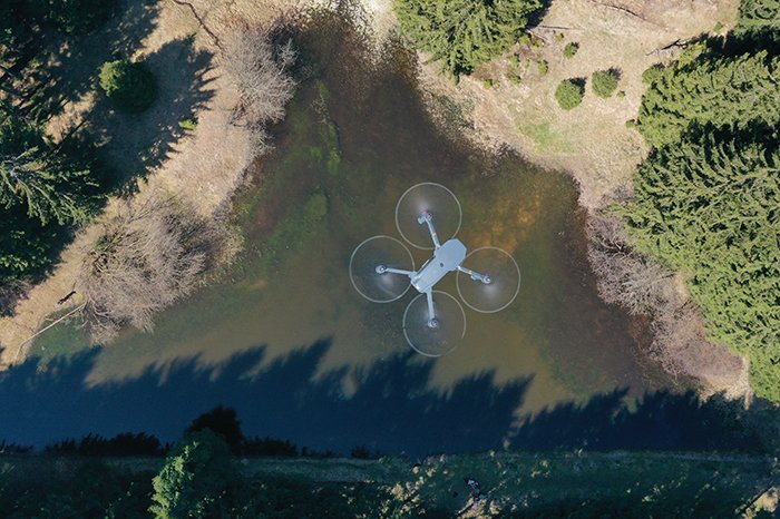
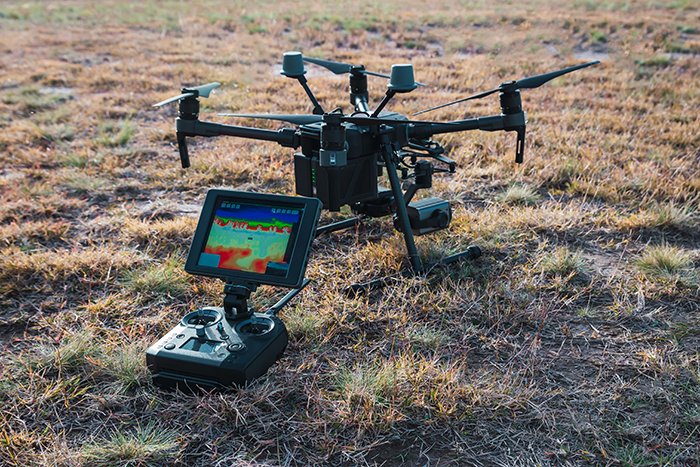
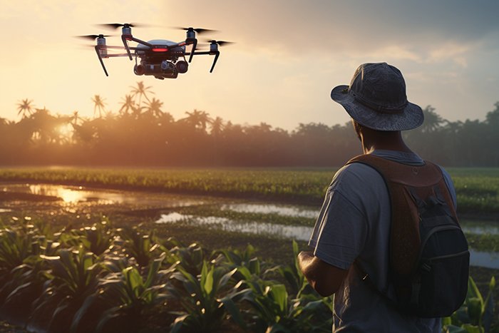
At GISMappers, we deliver advanced Drone and Remote Sensing Surveys in Saudi Arabia, using cutting-edge UAV platforms like DJI RTK drones combined with LiDAR, multispectral, hyperspectral, and thermal imaging technologies. Our drone services are ideal for topographic surveys, asset inspections, precision agriculture, mining exploration, and environmental monitoring across the Kingdom. From infrastructure projects in Riyadh and NEOM to agricultural monitoring in the Eastern Province, our drone surveys offer high-resolution, geo-referenced data that enhances decision-making, reduces operational costs, and improves safety across various sectors.
GISMappers is your trusted partner for remote sensing surveys in Saudi Arabia, providing accurate spatial intelligence to support sustainable development, smart cities, and industrial operations. Contact us today to deploy high-precision drones for your next project.
By using RTK/PPK positioning, our drones achieve high-precision results that meet or exceed industry standards.
Each deliverable is customized to your needs, whether you're managing a construction project or assessing farmland productivity.
 Drone & Remote Sensing Surveys

Contact Our Expert Support Team
© Copyright 2025. All Rights Reserved by GISMappers Saudi Arabia