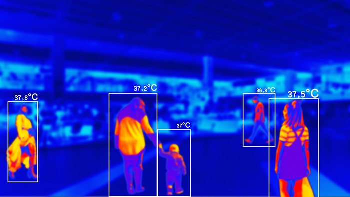
GISMappers offers advanced thermal imaging inspection services in Saudi Arabia, delivering precise, real-time data for energy, utility, and infrastructure sectors. Using high-resolution drone-mounted thermal sensors, we conduct efficient and non-invasive surveys across remote and urban environments, supporting smart infrastructure management and environmental safety.
Our UAV thermal surveys help detect anomalies in critical assets like solar panels, pipelines, power grids, and HVAC systems. These drone inspections reduce manual risks, improve operational safety, and ensure regulatory compliance across Saudi Arabia’s industrial, commercial, and energy sectors.


Whether you manage solar energy plants in NEOM, pipelines in the Eastern Province, or electrical networks in Riyadh, GISMappers' drone thermal inspection services in Saudi Arabia offer unmatched accuracy, safety, and efficiency. Get in touch today for expert UAV thermal mapping solutions tailored to your assets.
© Copyright 2025. All Rights Reserved by GISMappers Saudi Arabia