GIS Mapping
Topographic Survey Saudi Arabia | Land & Site Surveyors - GISMappers

Topographic Surveys

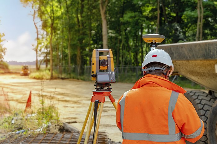
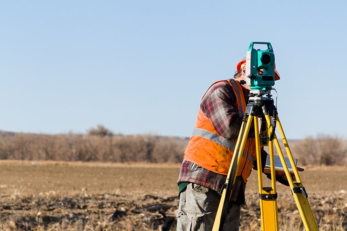
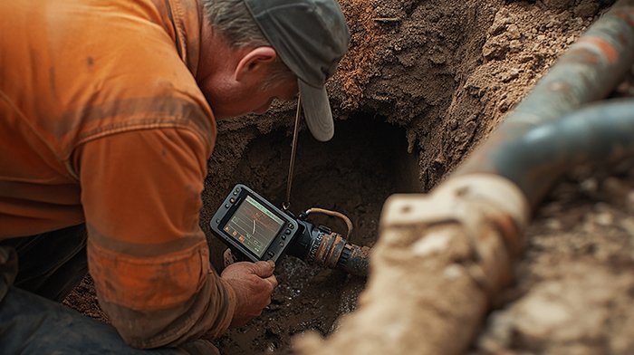
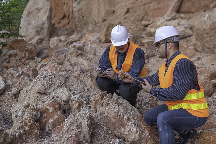
Topographic Surveys in Saudi Arabia are essential for accurate land assessment, infrastructure planning, and engineering design. At GISMappers, we provide professional topographical survey services across Riyadh, Dammam, Jeddah, and Khobar, using advanced tools like GPS, UAVs, Total Stations, and LiDAR. Our land surveys support a wide range of civil, environmental, and construction projects.

Whether you're a developer, engineer, or government agency, our experienced surveyors in Saudi Arabia ensure high-resolution mapping and elevation data that meet national and international standards. We deliver precise topographic maps, digital terrain models (DTM), and detailed survey reports required for planning, design, and compliance.

Importance of Topographic Surveys
Topographic surveys serve as the foundation for numerous industries, including engineering, construction, transportation, environmental management, and archaeology.
Some of their key roles include:
  • • Supporting infrastructure projects like roads, pipelines, railways, and utilities
  • • Assisting land development for residential, commercial, and industrial zones
  • • Providing data for drainage planning, flood risk assessment, and land grading
  • • Aiding urban planning, zoning regulation, and property demarcation
  • • Mapping archaeological and environmentally sensitive sites

Key Components of Topographic Surveys

  • • Land Surveying
  • • Building Surveying
  • • As-built Surveys
  • • Engineering Surveying
  • • Underground Surveying
  • • Pipeline and OHL Surveys
  • • Archaeological Survey