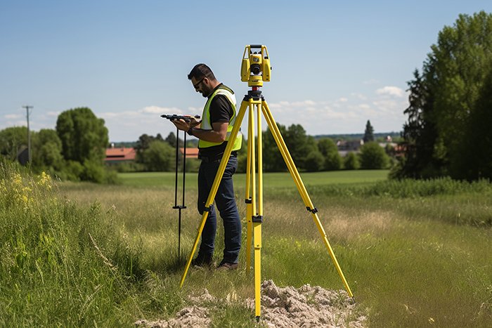
GISMappers provides comprehensive land surveying services across Saudi Arabia, supporting construction, infrastructure, oil & gas, and urban development projects. Our licensed surveyors use a combination of GNSS, total stations, drone surveys, and GIS mapping technologies to ensure accurate data collection and reporting.
From Riyadh to Jeddah and across the Kingdom, we help developers, architects, and engineers get accurate site data for planning and execution. Whether it's a topographic survey, property boundary delineation, or elevation modeling, our geospatial team ensures precision, legal compliance, and timely delivery.
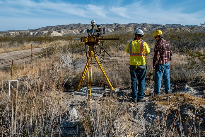
At GISMappers, we combine deep regional experience with global geospatial expertise to provide reliable land and topographic surveying services across Saudi Arabia. We serve major infrastructure, oil & gas, real estate, and environmental projects with trusted, high-quality data that supports every phase of development.
© Copyright 2025. All Rights Reserved by GISMappers Saudi Arabia