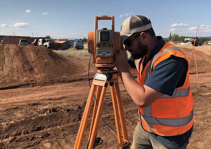
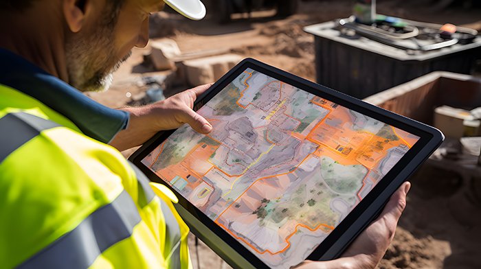
GISMappers provides professional engineering surveying services across Saudi Arabia, supporting large-scale construction, infrastructure, and land development projects. Our team uses advanced GNSS, Total Stations, drone mapping, and 3D laser scanning to offer accurate topographic and geospatial data. Engineering surveys play a vital role in aligning project designs with real-world terrain, ensuring compliance with regulatory standards, and minimizing risks during execution.


With a strong footprint in Riyadh, Jeddah, Dammam, and other major Saudi cities, GISMappers ensures timely and accurate engineering surveys for diverse infrastructure and land development needs. Our certified engineers and field technicians deliver results tailored to government regulations, engineering standards, and client objectives.
© Copyright 2025. All Rights Reserved by GISMappers Saudi Arabia