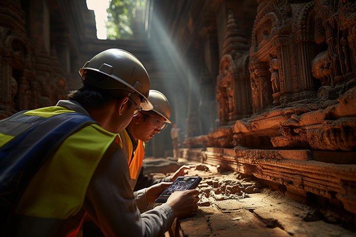
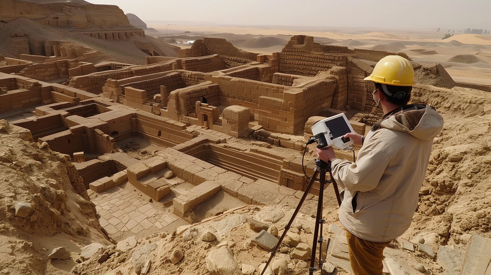
GISMappers offers expert archaeological survey services in Saudi Arabia, combining advanced GIS mapping, Ground Penetrating Radar (GPR), LiDAR scanning, and remote sensing technologies. We help identify, analyze, and preserve Saudi Arabia’s rich cultural heritage and ancient structures before urban or infrastructure development takes place.
Our approach ensures historical sites are mapped and monitored accurately without invasive digging. From desert landscapes to ancient settlements, our non-intrusive archaeological techniques deliver reliable insights to support compliance with cultural heritage regulations across the Kingdom.
At GISMappers, we are committed to safeguarding the cultural legacy of Saudi Arabia through cutting-edge archaeological survey solutions. Our non-invasive, data-driven methods support both public and private sector initiatives in ensuring archaeological preservation.
Contact us today to learn how our archaeological GIS services can support your next infrastructure, heritage, or research project across the Kingdom of Saudi Arabia.
© Copyright 2025. All Rights Reserved by GISMappers Saudi Arabia