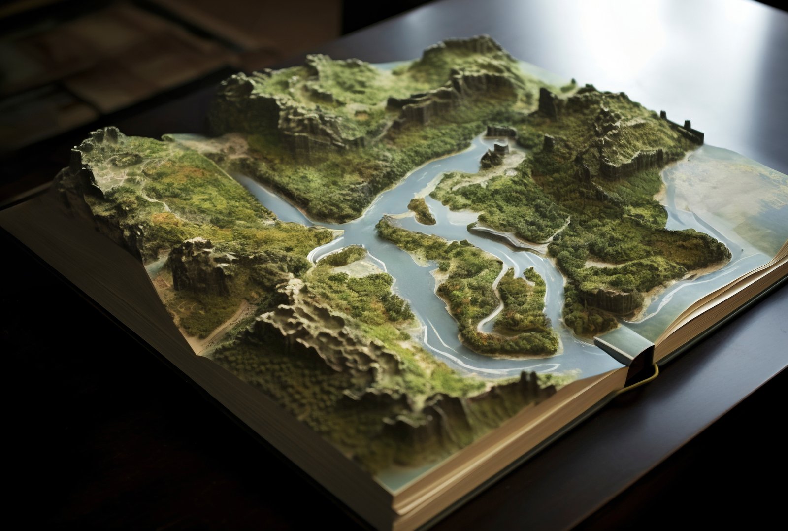
At GISMappers, we deliver industry-leading 3D modeling and terrain analysis services in Saudi Arabia using Pix4D and Leica Cyclone. Our drone-based LiDAR and photogrammetry workflows generate highly accurate topographic models for use in construction, urban planning, infrastructure development, and environmental projects.
From Riyadh to Jeddah and NEOM to the Eastern Province, our UAV surveys capture high-resolution geospatial data, which we process into Digital Terrain Models (DTMs), Digital Surface Models (DSMs), and true-to-life 3D mesh reconstructions. Our services support smart decision-making across industrial, municipal, and environmental sectors in the Kingdom of Saudi Arabia.


Whether you're building new infrastructure in Jeddah, planning smart city layouts in NEOM, or monitoring terrain changes in Al Khobar, GISMappers provides the most reliable 3D terrain modeling and drone survey services in Saudi Arabia. Contact us to receive accurate digital models tailored to your geospatial and engineering needs.
© Copyright 2025. All Rights Reserved by GISMappers Saudi Arabia