GIS Mapping
Multispectral & Hyperspectral Mapping in Saudi Arabia | GISMappers

Advanced Multispectral & Hyperspectral Mapping
Services in Saudi Arabia

GISMappers offers state-of-the-art multispectral and hyperspectral mapping services across Saudi Arabia, delivering critical data insights for precision agriculture, mineral exploration, and environmental monitoring. Using cutting-edge drone platforms and geospatial technologies, we capture rich spectral imagery that enables analysis beyond visible light.

Our UAVs are equipped with multispectral and hyperspectral sensors that detect reflectance across dozens or hundreds of wavelengths, empowering Saudi organizations in agriculture, mining, and infrastructure planning with precise spatial data for smarter decisions.
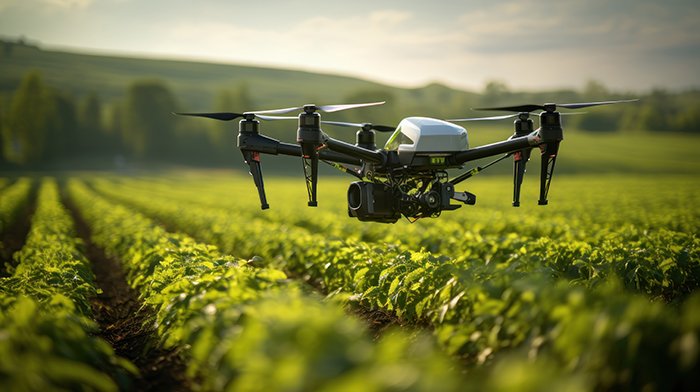
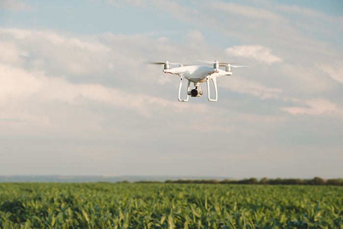
Multispectral Mapping in Saudi Arabia for Agriculture
Hyperspectral Drone Mapping for Mining in Saudi Arabia

Key Features & Benefits:

1. Precision Agriculture for Saudi Arabia’s Growing Sector
  • Evaluate crop health using NDVI, NDRE, and chlorophyll indices.
  • Detect irrigation issues, nutrient stress, and disease early.
  • Support Saudi Arabia’s smart farming initiatives with accurate data.
2. Mineral Exploration and Geological Mapping
  • Identify mineral content and lithology in desert and mountainous terrains.
  • Optimize mining operations and exploration with spectral intelligence.
3. High-Resolution Spectral Imaging
  • Capture detailed reflectance data across multiple spectral bands.
  • Monitor vegetation cover, soil moisture, and environmental changes accurately.
4. Efficient Data Collection and Reporting
  • Survey large farms, mining sites, or protected areas in a single UAV flight.
  • Fast data processing compatible with GIS, BIM, and CAD systems.
5. Environmental Monitoring in Arid Zones
  • Track land degradation, soil erosion, and pollution hotspots.
  • Support conservation projects and climate resilience in Saudi Arabia.

At GISMappers, we empower government agencies, agricultural firms, mining companies, and environmental consultants across the Kingdom of Saudi Arabia with advanced drone-based geospatial analytics. Our multispectral and hyperspectral mapping services help you gain unparalleled insights into land, crops, and mineral surfaces.