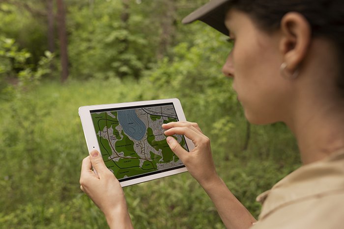
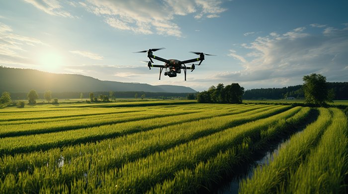
At GISMappers, we deliver advanced environmental monitoring services in Saudi Arabia, utilizing cutting-edge drone surveys, remote sensing, and GIS mapping technologies. Our integrated solutions enable accurate tracking of land use changes, vegetation health, pollution levels, and ecosystem transformations across diverse environments.
Leveraging AI-powered GIS tools and high-resolution aerial data, our team provides actionable insights for regulatory compliance, sustainability planning, and environmental impact assessments across industrial, agricultural, and urban sectors.
Whether you're in Riyadh, Jeddah, Dammam, or NEOM, our drone-based environmental GIS services help your organization ensure compliance, sustainability, and environmental stewardship. With GISMappers, you gain access to reliable spatial analytics, real-time monitoring, and cloud-based data delivery — enabling smarter, faster, and more informed decisions for a sustainable Saudi Arabia.
© Copyright 2025. All Rights Reserved by GISMappers Saudi Arabia