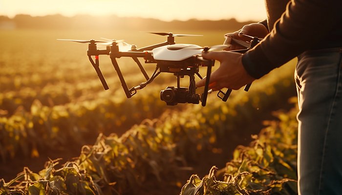
GISMappers provides precise and reliable agriculture and mining survey services across Saudi Arabia using advanced drone mapping, GIS, LiDAR, and remote sensing technologies. Our UAV surveys are designed to maximize land productivity, monitor environmental impact, and support informed decision-making.
From precision farming and irrigation planning to mine site mapping and volumetric analysis, we help clients in Saudi Arabia optimize resources while ensuring compliance and safety.


Partner with GISMappers Saudi Arabia for smart, scalable, and sustainable agriculture and mining survey solutions. Our team brings advanced geospatial analytics and drone technology to support growth and efficiency across the Kingdom.
© Copyright 2025. All Rights Reserved by GISMappers Saudi Arabia