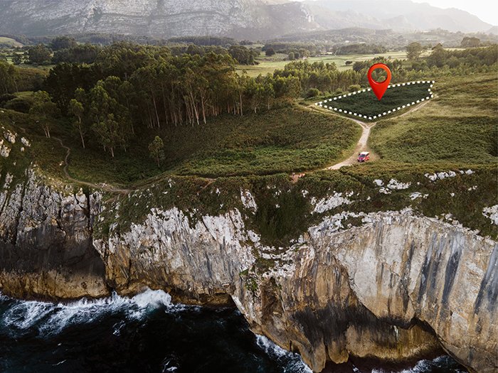
GISMappers specializes in advanced land surveying in Saudi Arabia using drone technology and remote sensing. With cutting-edge UAVs, LiDAR sensors, and RTK GNSS, we deliver precise and high-resolution topographic data tailored for diverse industries including construction, smart cities, and agriculture.
Whether in Riyadh, Jeddah, Dammam, or industrial zones, our drone surveys provide real-time spatial intelligence to support infrastructure development, terrain analysis, and environmental monitoring across the Kingdom of Saudi Arabia.
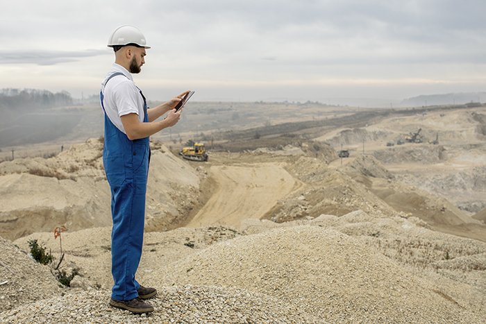
From Riyadh to the Eastern Province, GISMappers empowers clients with spatial insights through AI-driven GIS mapping, remote sensing, and drone land surveying services. Partner with us for efficient, cost-effective, and accurate geospatial solutions in Saudi Arabia.
© Copyright 2025. All Rights Reserved by GISMappers Saudi Arabia