GIS Mapping
Topographic & Land Surveys in Saudi Arabia | DJI RTK & LiDAR Mapping | GISMappers

High-Precision Topographic & Land Surveys with DJI RTK & LiDAR

GISMappers delivers advanced topographic survey services in Saudi Arabia using cutting-edge DJI RTK drones and LiDAR remote sensing technology. We provide highly accurate elevation models and terrain maps for infrastructure, urban planning, and land development projects across the Kingdom.

Our drone-based land surveying integrates Real-Time Kinematic (RTK) GPS and high-density LiDAR sensors to produce fast, reliable, and detailed 3D terrain data—perfect for civil engineering, smart city planning, highway construction, and more.
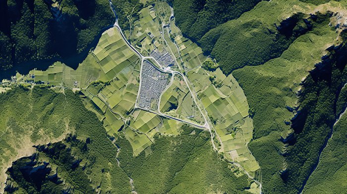

Topographic Survey Saudi Arabia - Drone Mapping
LiDAR Drone Land Survey Saudi Arabia

Key Features & Benefits:

1. Centimeter-Level Accuracy
  • RTK drones deliver precise ground control without extensive GCPs.
  • Ideal for highway engineering, boundary definition, and site grading.
2. Penetration through Dense Vegetation
  • LiDAR systems map bare-earth terrain under trees and brush.
  • Perfect for Saudi Arabia’s agricultural and remote desert zones.
3. Rapid & Safe Data Acquisition
  • Completes large-area surveys in a fraction of the time vs traditional methods.
  • Enhances safety in hazardous or hard-to-reach areas.
4. Seamless GIS & CAD Integration
  • Deliverables include 3D point clouds, contours, DEMs, and orthophotos.
  • Ready for GIS mapping, BIM modeling, and infrastructure planning.
5. Scalable and Cost-Effective
  • Efficient for large-scale construction, NEOM developments, and Saudi Vision 2030 projects.
  • Reduces manpower while improving mapping accuracy and delivery speed.
Applications Across Saudi Arabia:
  • Topographic Mapping for Civil Engineering & Infrastructure
  • Land Development in Riyadh, Jeddah, Dammam & NEOM
  • Road & Utility Corridor Surveys
  • Environmental Monitoring & Flood Risk Analysis
  • Precision Agriculture & Farm Terrain Modeling

Trust GISMappers for accurate, fast, and scalable drone-based topographic surveys in Saudi Arabia. Our LiDAR mapping and DJI RTK solutions empower engineers, planners, and developers with actionable geospatial intelligence.