GIS Mapping
Pipeline & Overhead Line (OHL) Surveys in Saudi Arabia | GIS Mappers

Advanced Pipeline & OHL Surveys with Drone & LiDAR
in Saudi Arabia

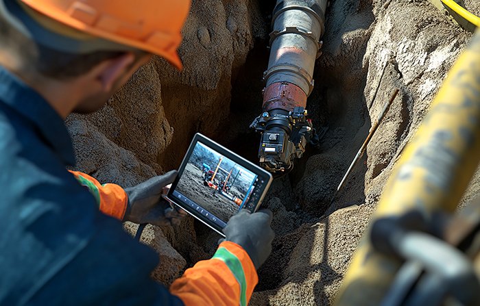
GIS Mappers delivers high-precision Pipeline and Overhead Line (OHL) surveys in Saudi Arabia using cutting-edge RTK drones, LiDAR sensors, and high-resolution imaging systems. Our drone-based methodology ensures efficient, safe, and accurate mapping for long linear infrastructure.

We support clients across oil & gas, utilities, and energy sectors by capturing accurate spatial data across vast corridors. Our surveys support pipeline inspection, OHL monitoring, right-of-way (ROW) assessment, and environmental compliance for infrastructure in both urban and remote areas of Saudi Arabia.

Pipeline Survey in Saudi Arabia via Drone
Overhead Line LiDAR Mapping Saudi Arabia

Key Features & Benefits:

1. High-Accuracy Linear Mapping
  • RTK-equipped drones ensure centimeter-level accuracy over long pipeline & OHL routes.
  • Critical for pipeline route planning, OHL encroachment detection, and utility mapping.
2. LiDAR for Vegetation & Clearance Analysis
  • Captures elevation, vegetation height, and structural clearance in 3D—ideal for ROW monitoring.
  • Detects line sag, pole tilt, and nearby tree growth threatening overhead lines.
3. Safe & Rapid Asset Inspection
  • Reduces manual inspection risks with drone imagery and automated defect detection.
  • Supports early identification of corrosion, cracks, and structural wear.
4. 3D Corridor Modeling & Digital Twins
  • Deliverables include 3D point clouds, digital terrain models (DTM), and profile sections.
  • Enables advanced simulations, predictive maintenance, and digital asset management.
5. Compliance & Engineering Documentation
  • Supports Saudi regulatory requirements for oil & gas and energy sector documentation.
  • Enables reporting for environmental impact, permitting, and utility design approvals.
Applications Across Saudi Arabia:
  • Oil, Gas, and Water Pipeline Surveys in Aramco and Royal Commission areas
  • High-Voltage Transmission Line Monitoring in Riyadh, Jeddah, NEOM
  • Vegetation Clearance & Right-of-Way Corridor Assessments
  • Utility Corridor Mapping for Smart City & Industrial Projects
  • Emergency Response and Disaster Risk Mapping for Energy Networks

GIS Mappers is a trusted provider of pipeline and powerline drone surveys in Saudi Arabia, delivering high-resolution geospatial data to support your infrastructure’s lifecycle—from planning to maintenance. Let us help you achieve smarter, safer, and more sustainable project outcomes.