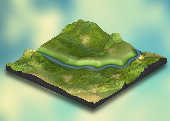
Terrain Mapping is a crucial process for analyzing Earth's surface features, utilizing satellite data to generate high-resolution elevation models, contour maps, and landform classifications. By leveraging satellite imagery, LiDAR, and digital elevation models (DEMs), Terrain Mapping supports applications in urban planning, disaster risk management, infrastructure development, and environmental conservation.
At GISMappers, we specialize in processing geospatial data to create precise and detailed terrain models. Our Terrain Mapping solutions aid in topographic analysis, watershed management, slope stability studies, and geohazard assessments, ensuring data-driven decision-making for various industries.
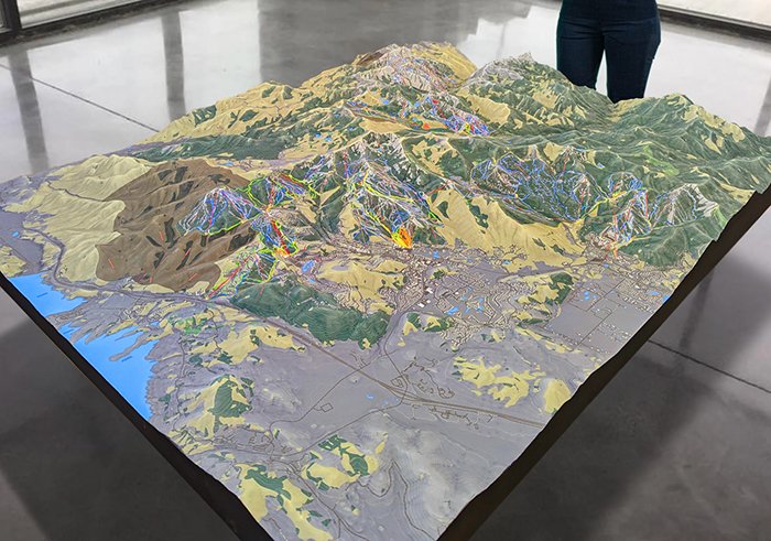
GISMappers' Terrain Mapping services leverage cutting-edge satellite data, LiDAR technology, and GIS analytics to create detailed and accurate terrain models. Our solutions empower governments, environmental agencies, and industries to make informed decisions for sustainable land management and infrastructure development.
© Copyright 2025. All Rights Reserved by GISMappers Saudi Arabia