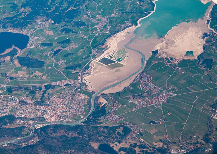
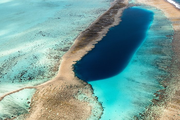
Satellite-Derived Bathymetry (SDB) is an innovative remote sensing technique used to extract water depth data from satellite imagery. By analyzing light penetration and reflection off the seabed, SDB provides an efficient, cost-effective alternative to traditional hydrographic surveys. This method is ideal for mapping shallow coastal areas, inland water bodies, and remote marine environments where conventional sonar or LiDAR methods may be impractical.


At GISMappers, we employ advanced remote sensing techniques to deliver highly accurate and reliable bathymetric data. Our SDB solutions support industries such as maritime navigation, offshore development, coastal engineering, and environmental conservation, ensuring informed decision-making for marine and coastal projects.
© Copyright 2025. All Rights Reserved by GISMappers Saudi Arabia