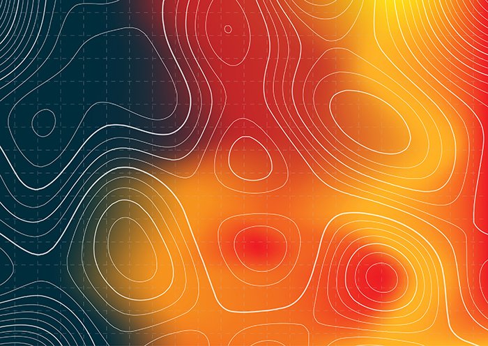
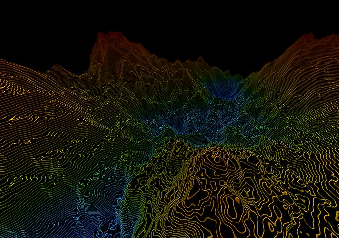
Heat Mapping
Heat Mapping is an advanced remote sensing technique that uses satellite-derived thermal data to monitor temperature variations across land and water surfaces. This method is crucial for identifying urban heat islands, assessing climate change impacts, monitoring wildfires, and optimizing energy efficiency in built environments.
At GISMappers, we utilize high-resolution thermal imagery from satellites like Landsat, MODIS, and Sentinel-3 to generate heat distribution maps. These maps assist urban planners, environmental researchers, and disaster response teams in making data-driven decisions for sustainability and resilience planning.
Key Features & Benefits:
1. Urban Heat Island (UHI) Detection
- Identifies temperature anomalies in urban areas caused by dense infrastructure.
- Supports climate adaptation strategies for reducing urban overheating.
2. Climate Change and Temperature Monitoring
- Tracks temperature trends to assess global and regional climate changes.
- Provides insights for meteorological and environmental studies.
3. Wildfire Detection and Risk Assessment
- Detects early signs of wildfires and helps in rapid emergency response.
- Assists in post-fire damage assessment and rehabilitation planning.
4. Water Temperature Mapping for Marine and Freshwater Systems
- Monitors ocean and lake surface temperatures for ecological studies.
- Supports fisheries and aquatic biodiversity conservation.
5. Energy Efficiency and Renewable Energy Planning
- Helps in optimizing energy usage by identifying heat loss in buildings.
- Supports site selection for solar power plants based on thermal conditions.
6. Disaster Risk Management
- Provides crucial data for heatwave response strategies.
- Supports emergency services with temperature-based hazard assessments.
Applications of Heat Mapping:
- Environmental Monitoring and Climate Studies
- Urban Planning and Sustainable Development
- Disaster Management and Emergency Response
- Energy Efficiency and Infrastructure Assessment
- Agricultural and Water Resource Management
GISMappers' Heat Mapping solutions provide real-time thermal insights for better environmental management, disaster response, and climate resilience planning. By leveraging satellite remote sensing, we enable governments, industries, and researchers to take proactive steps toward sustainability and risk reduction.