Social, Economic, and Political Mapping
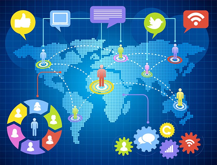
Social, Economic, and Political Mapping through satellite-derived data provides valuable insights into human activities, resource distribution, and governance structures worldwide. This geospatial intelligence aids in analyzing urbanization, economic development, demographic trends, and political boundaries, enabling informed decision-making for policy makers, researchers, and organizations.
At GISMappers, we integrate satellite imagery with socioeconomic data to generate high-resolution maps for tracking population density, economic hotspots, electoral boundaries, and infrastructure accessibility. This helps in urban planning, disaster response, political strategy, and resource allocation.
Key Features & Benefits:
1. Population and Demographic Analysis
- Tracks population distribution and density changes over time.
- Helps in urban expansion planning and resource distribution.
2. Economic Growth and Development Monitoring
- Identifies industrial zones, trade hubs, and economic disparities.
- Supports investment planning and economic forecasting.
3. Political Boundary and Electoral Mapping
- Defines administrative and electoral district boundaries.
- Aids in political representation and voting analysis.
4. Infrastructure and Public Service Accessibility
- Analyzes access to healthcare, education, and transportation networks.
- Supports equitable development and social inclusion.
5. Social and Humanitarian Applications
- Monitors migration patterns and refugee movements.
- Assists in disaster response and relief planning.
6. Policy and Governance Support
- Provides data-driven insights for governmental decision-making.
- Enhances transparency in resource allocation and policy implementation.
Applications of Social, Economic, and Political Mapping:
- Urban Planning and Development
- Economic Forecasting and Investment Analysis
- Electoral Districting and Political Strategy
- Disaster Management and Humanitarian Aid
- Social Equity and Public Policy Analysis
GISMappers’ Social, Economic, and Political Mapping solutions provide in-depth geospatial intelligence for governments, NGOs, and businesses to make informed, strategic decisions. By leveraging satellite imagery, we enable a deeper understanding of human development trends, policy impacts, and socioeconomic landscapes.