GIS Mapping
Air Quality Mapping Services | GISMappers

Air Quality Mapping

Air Quality Mapping is a critical tool for monitoring atmospheric pollutants, greenhouse gases, and particulate matter concentrations using satellite-based remote sensing and geospatial analytics. By leveraging advanced Earth observation satellites, this mapping process provides valuable insights into air pollution levels, climate change effects, and public health impacts.

At GISMappers, we integrate data from sensors like Sentinel-5P, MODIS, and VIIRS to create high-resolution air quality maps that support environmental regulations, urban planning, and health impact assessments. Our solutions help governments, industries, and researchers make informed decisions for pollution control and mitigation strategies.

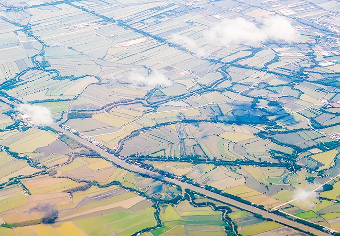
Air Quality Mapping
Atmospheric Pollution Mapping

Key Features & Benefits:

1. Real-Time Air Pollution Monitoring
  • Utilizes satellite sensors to detect air pollutants like NO₂, SO₂, CO, and PM2.5.
  • Provides near real-time updates on atmospheric conditions.
2. Greenhouse Gas (GHG) Emission Tracking
  • Monitors CO₂ and CH₄ emissions from industrial, urban, and agricultural sources.
  • Supports climate change mitigation efforts and policy-making.
3. Urban Air Quality and Health Impact Analysis
  • Assesses pollution hotspots in cities for better urban planning.
  • Helps in understanding the health impact of long-term air pollution exposure.
4. Wildfire and Industrial Emission Detection
  • Detects smoke plumes, fire emissions, and industrial pollution sources.
  • Enhances disaster response and mitigation planning.
5. Climate and Weather Impact Studies
  • Analyzes air quality changes due to meteorological factors.
  • Integrates data with climate models for forecasting and research.
6. Data Integration with GIS and Remote Sensing Platforms
  • Combines satellite data with ground-based air quality monitoring stations.
  • Enables spatial analysis and predictive modeling.
Applications of Air Quality Mapping:
  • Environmental Policy and Compliance Monitoring
  • Public Health Studies and Disease Correlation Analysis
  • Industrial and Urban Emission Regulations
  • Climate Change and Greenhouse Gas Research
  • Emergency Response for Wildfires and Airborne Hazards

GISMappers' Air Quality Mapping services provide comprehensive solutions for tracking atmospheric pollution, supporting sustainable development, and ensuring public health safety. By leveraging cutting-edge satellite technology and geospatial analysis, we help industries and governments take proactive measures against air pollution and climate change.

L o a d i n g