Topographic Mapping involves the detailed representation of the Earth's surface features, including terrain elevations, landforms, and natural and man-made structures. Utilizing advanced satellite imagery and remote sensing techniques, Topographic Mapping provides essential data for environmental studies, urban planning, disaster management, and infrastructure development.
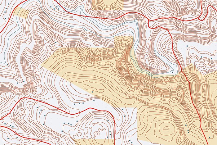
At GISMappers, we employ cutting-edge satellite-derived topographic mapping technologies to provide high-accuracy elevation data essential for planning, environmental management, and infrastructure projects. Our solutions empower industries, government agencies, and research institutions to make informed decisions based on precise geospatial intelligence.
© Copyright 2025. All Rights Reserved by GISMappers Saudi Arabia