Land Use Land Cover (LULC) Mapping is a crucial technique used to classify and analyze the Earth's surface features by utilizing satellite imagery. It provides critical data for urban planning, agriculture, forestry, water resource management, and environmental monitoring. By analyzing satellite-derived data, LULC mapping helps identify land changes over time, assess human impact, and support sustainable development initiatives.
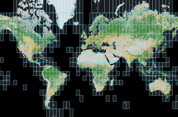
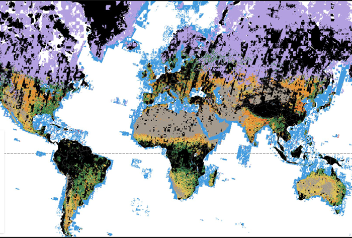
At GISMappers, we utilize advanced satellite imagery and machine learning algorithms to produce accurate and high-resolution LULC maps. Our services support governments, urban planners, environmental researchers, and industries in making informed decisions for sustainable land-use planning and resource management.
© Copyright 2025. All Rights Reserved by GISMappers Saudi Arabia