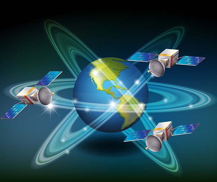
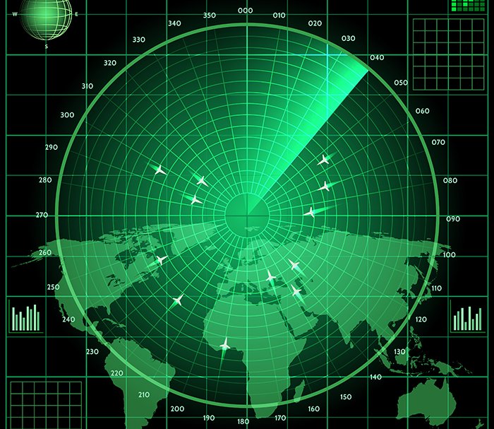
Satellite Mapping is a powerful remote sensing technique that utilizes high-resolution satellite imagery to provide detailed geographical and environmental data. This method enables large-scale mapping of the Earth's surface, offering valuable insights for urban planning, agriculture, forestry, disaster management, and environmental monitoring.
GISMappers specializes in leveraging advanced satellite data sources, including optical, infrared, and radar-based sensors, to create accurate and up-to-date maps for various applications. By integrating artificial intelligence and Geographic Information Systems (GIS), we deliver high-precision satellite mapping solutions for diverse industries.


At GISMappers, we provide cutting-edge satellite mapping solutions tailored to meet the evolving needs of industries and government agencies. Our expertise in remote sensing, data processing, and GIS analytics ensures the highest level of accuracy and reliability for decision-making.
© Copyright 2025. All Rights Reserved by GISMappers Saudi Arabia