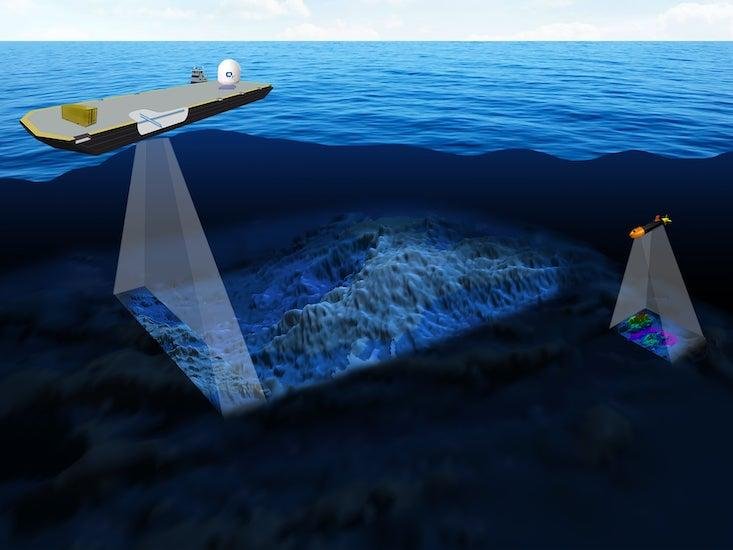
Marine Environment Mapping focuses on analyzing seabed and benthic ecosystems using satellite-derived data, remote sensing, and acoustic technologies. This mapping process plays a vital role in understanding the underwater landscape, marine biodiversity, sediment composition, and ecological health of oceanic environments.
At GISMappers, we integrate advanced satellite imagery, bathymetric LiDAR, and sonar-based data to produce high-resolution maps of seabed morphology, benthic habitats, and marine resource distributions. These insights support coastal management, fisheries, marine conservation, and offshore infrastructure planning.
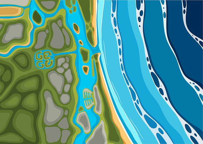
GISMappers’ Marine Environment Mapping services utilize cutting-edge geospatial technologies to provide detailed insights into ocean floor features, benthic habitats, and marine ecosystems. Our solutions enable governments, researchers, and industries to implement effective marine resource management and environmental conservation strategies.
© Copyright 2025. All Rights Reserved by GISMappers Saudi Arabia