Marine Survey - Chemical Oceanography - Metocean Services
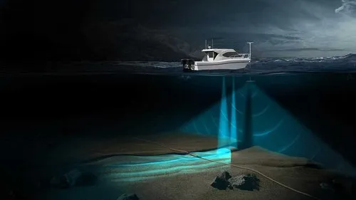
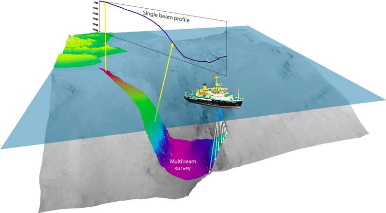
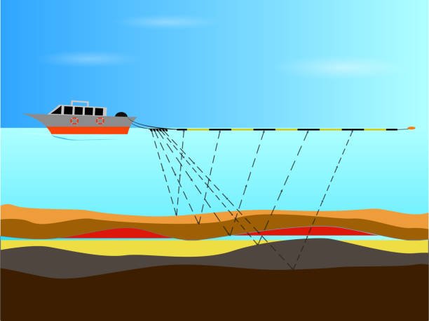
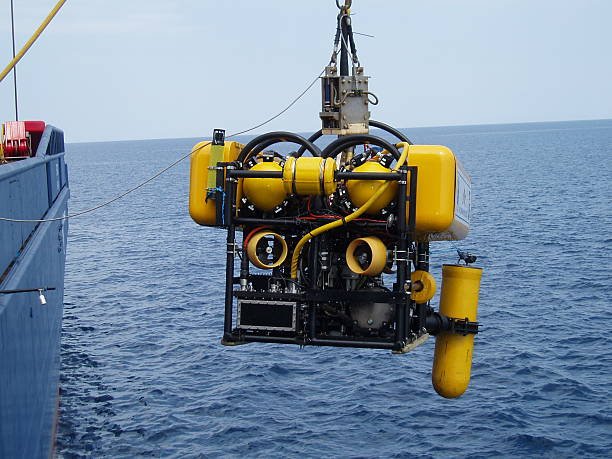
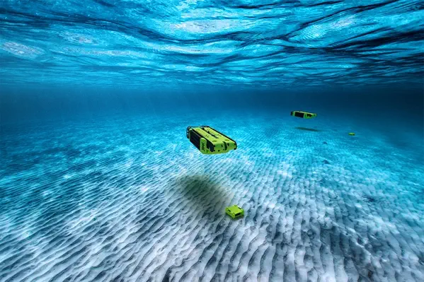
Seabed and Geophysical Surveys are essential components of marine exploration and offshore engineering. These surveys enable high-resolution mapping of the seafloor and subsurface geological structures, supporting applications in offshore construction, subsea cable/pipeline routing, environmental monitoring, and resource exploration. At GISMappers, we specialize in delivering accurate, data-rich marine geophysical services that include bathymetric surveys, side scan sonar imaging, sub-bottom profiling, and magnetometer surveys. Our integrated approach ensures precise geotechnical interpretation and minimizes risk for offshore developments. Whether you're conducting a geophysical site investigation, planning a port expansion, or exploring subsea infrastructure, our advanced survey techniques provide critical insight into the seabed conditions and underlying geology.
© Copyright 2025. All Rights Reserved by GISMappers Saudi Arabia