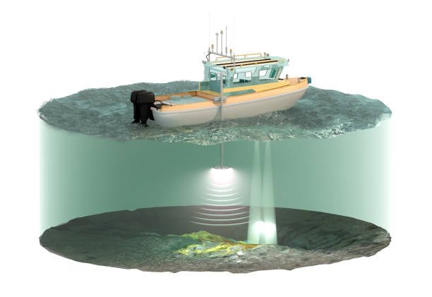
A Side Scan Sonar Survey is a specialized hydrographic survey technique that uses sonar imaging to create high-resolution, acoustic-based maps of the seafloor. This method is highly effective for detecting underwater objects, shipwrecks, debris, and seabed characteristics. GISMappers employs advanced Side Scan Sonar systems to provide precise and detailed seabed visualization for marine industries, offshore infrastructure projects, and environmental studies.

GISMappers utilizes industry-leading Side Scan Sonar technology integrated with RTK GNSS positioning and advanced signal processing to deliver precise underwater imaging. Our surveys support government agencies, marine industries, and research organizations in making informed decisions for safe and sustainable marine operations.
© Copyright 2025. All Rights Reserved by GISMappers Saudi Arabia