GIS Mapping
Single Beam Bathymetry Survey | GISMappers

Single Beam Bathymetry Survey

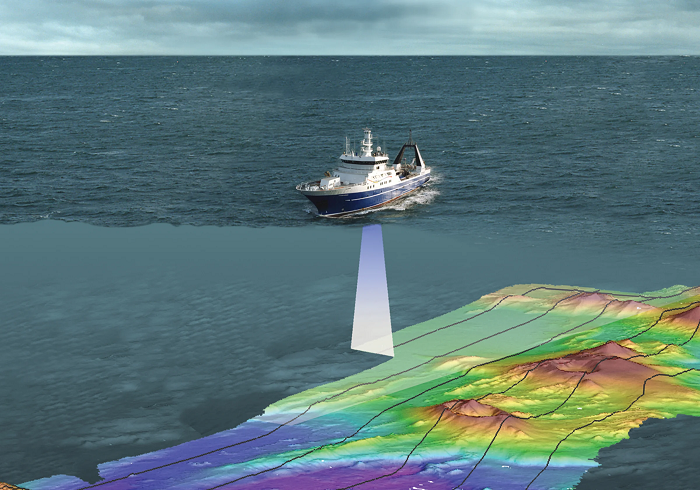
A Single Beam Bathymetry Survey is a widely used hydrographic survey method designed to collect water depth data by transmitting a single acoustic pulse from an echo sounder directly beneath a survey vessel. The returning signal, after reflecting off the seabed, is used to determine depth measurements at specific points along a survey line. This method is ideal for a variety of marine and freshwater environments, providing accurate and reliable depth profiles essential for navigation, engineering, and environmental monitoring.

Single Beam Bathymetry Survey
Seabed Profile Analysis

Key Features & Benefits:

1. Accurate Depth Measurement
  • Captures precise underwater topography by measuring the travel time of acoustic waves.
  • Provides reliable depth readings critical for safe navigation and marine infrastructure planning.
2. Seabed Profile Analysis
  • Generates detailed seabed cross-sections that help assess underwater terrain conditions.
  • Supports infrastructure projects such as ports, harbors, and bridges by providing essential depth data.
3. Cost-Effective & Time-Efficient
  • A single beam survey is an affordable alternative to multibeam surveys, making it ideal for smaller-scale projects.
  • Faster data collection compared to traditional lead-line methods, improving project turnaround time.
4. Environmental & Sediment Studies
  • Used to monitor changes in seabed morphology due to sediment transport, erosion, or human activities.
  • Supports environmental impact assessments for dredging, offshore wind farms, and marine protected areas.
5. Versatile Applications Across Marine & Inland Water Bodies
  • Applied in coastal and inland waters, including lakes, rivers, reservoirs, and estuaries.
  • Assists in channel dredging, harbor maintenance, and inland waterway management.
6. Data Integration with GIS & Mapping Software
  • The collected bathymetric data can be processed and integrated into Geographic Information Systems (GIS) for detailed visualization.
  • Enables accurate digital elevation models (DEM) and marine spatial planning.
7. Support for Engineering & Infrastructure Development
  • Provides critical underwater depth information for civil engineering projects such as bridge foundations, pipelines, and offshore platforms.
  • Helps in feasibility studies for coastal development, shoreline management, and marine construction.

At GISMappers, we use advanced Single Beam Echo Sounders (SBES) with real-time kinematic (RTK) GPS technology to ensure the highest level of accuracy and reliability. Our surveys play a crucial role in supporting industries such as maritime navigation, dredging operations, coastal engineering, and environmental research, ensuring optimal decision-making for marine projects.

L o a d i n g