A Sub-bottom Profile Survey is an advanced geophysical technique used to investigate and map the layers of sediment and rock beneath the seafloor. Using acoustic signals, sub-bottom profilers (SBP) penetrate the seabed to reveal hidden geological structures, sediment thickness, and buried objects.
This survey is essential for offshore engineering, archaeological studies, environmental monitoring, and hydrocarbon exploration. GISMappers utilizes state-of-the-art SBP systems to provide high-resolution subsurface imaging for various marine and coastal applications.
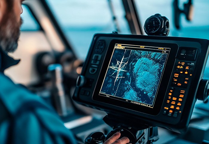
At GISMappers, we employ industry-leading sub-bottom profiling technology combined with advanced data processing techniques to deliver accurate and reliable results for marine and offshore projects worldwide.
© Copyright 2025. All Rights Reserved by GISMappers Saudi Arabia