GIS Mapping
Underwater Positioning Services | GISMappers

Underwater Positioning

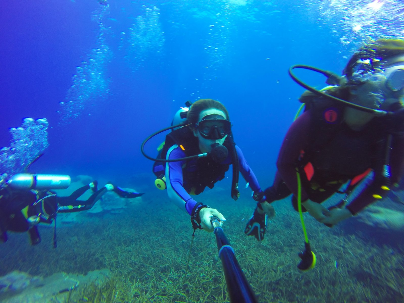
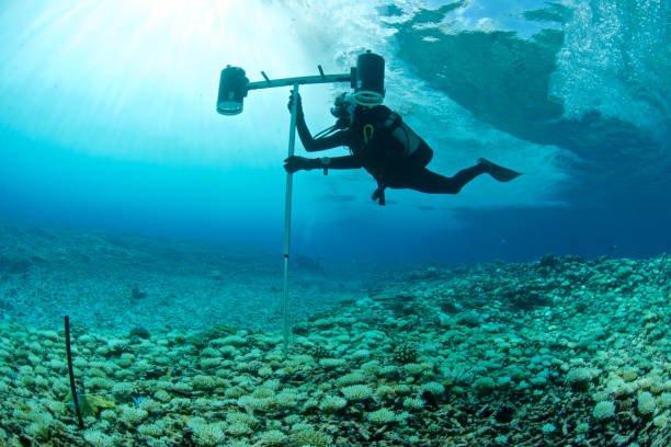
Underwater Positioning is a critical technique used to determine the precise location of submerged assets, vehicles, and divers. Utilizing advanced acoustic and GPS technologies, underwater positioning ensures accurate navigation and mapping in marine environments. These systems are essential for subsea construction, offshore energy projects, and scientific research.

GISMappers employs state-of-the-art Ultra-Short Baseline (USBL), Long Baseline (LBL), and Short Baseline (SBL) positioning systems to provide real-time underwater tracking. Our solutions enhance operational efficiency and safety for offshore industries, search and recovery missions, and marine exploration projects.

underwater_positioning_details

Key Features & Benefits of Underwater Positioning:

1. High-Precision Navigation
  • Provides real-time tracking of underwater vehicles, divers, and assets.
  • Utilizes advanced acoustic transponders for precise subsea location mapping.
2. Enhanced Survey & Mapping Accuracy
  • Supports hydrographic surveys, offshore drilling, and subsea infrastructure inspections.
  • Integrates with GIS platforms for seamless spatial data analysis.
3. Versatile Applications
  • Used in offshore energy projects, search and recovery missions, and marine research.
  • Ensures safe navigation for remotely operated vehicles (ROVs) and autonomous underwater vehicles (AUVs).
4. Reliable Performance in Challenging Environments
  • Works effectively in deep-sea, coastal, and inland water applications.
  • Reduces operational risks by providing accurate positioning in low-visibility conditions.
Applications of Underwater Positioning:
  • Subsea Cable & Pipeline Installation: Ensures precise alignment of underwater infrastructure.
  • Offshore Oil & Gas Exploration: Assists in locating and monitoring drilling equipment.
  • Wreck & Artifact Recovery: Supports underwater archaeology and salvage operations.
  • Environmental Monitoring: Tracks marine species and ecosystem changes for conservation efforts.

At GISMappers, we leverage industry-leading underwater positioning technologies to deliver accurate and reliable subsea navigation solutions. Our expertise supports a wide range of marine industries, ensuring operational success in the most demanding underwater environments.

L o a d i n g