GIS Mapping
Underwater Inspection Services | GISMappers

Underwater Inspection

Underwater Inspection involves advanced sonar imaging, remotely operated vehicles (ROVs), and diver-assisted surveys to assess submerged structures, marine assets, and seabed conditions. These inspections provide crucial data for infrastructure maintenance, environmental studies, and maritime safety.

GISMappers specializes in high-precision underwater inspection services, using the latest technology to support industries such as oil and gas, renewable energy, marine construction, and environmental monitoring.

underwater_inspection

Key Features & Benefits:

1. High-Resolution Imaging & Video Documentation
  • Uses HD cameras and sonar imaging to capture detailed underwater visuals.
  • Enables real-time monitoring and analysis for condition assessment.
2. Structural Integrity Assessment
  • Detects corrosion, cracks, and anomalies in subsea structures.
  • Ensures asset longevity and safety through predictive maintenance.
3. ROV & Diver-Assisted Inspections
  • Deploys ROVs for deep-sea and hazardous area inspections.
  • Supports divers with sonar navigation for precise manual assessments.
4. Port, Harbor & Offshore Asset Inspections
  • Examines underwater foundations, moorings, and marine structures.
  • Aids in compliance with maritime safety regulations.
5. Environmental Monitoring & Marine Habitat Assessment
  • Evaluates seafloor conditions and marine biodiversity.
  • Identifies ecological changes and anthropogenic impacts.
6. Ship Hull & Vessel Inspections
  • Detects biofouling, corrosion, and structural damage.
  • Supports maintenance schedules to enhance vessel performance.
7. GIS & 3D Modeling Integration
  • Processes collected data into GIS for mapping and analysis.
  • Enables 3D visualization for enhanced decision-making.
Applications of Underwater Inspection:
  • Offshore Oil & Gas Infrastructure Monitoring
  • Bridge & Dam Structural Assessments
  • Pipeline & Subsea Cable Inspections
  • Marine Archaeology & Wreck Investigations

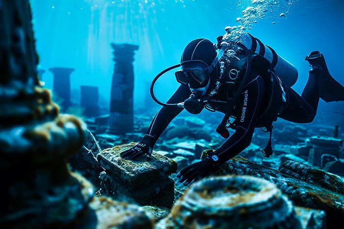
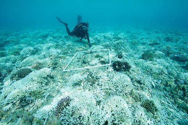
At GISMappers, we provide expert underwater inspection services using the latest sonar, ROV, and diver-assisted techniques to support industries in ensuring safety, compliance, and asset longevity.

Corporate_service Underwater Inspection

Frequency Asked Questions

Business Consulting FAQ
What is underwater inspection used for?
Underwater inspections are used to evaluate the condition of submerged structures like bridges, pipelines, dams, and marine infrastructure. They help detect damage, monitor construction, and support environmental assessments.
We use ROVs equipped with sonar and HD cameras to remotely inspect underwater assets. In some cases, we also deploy certified divers for hands-on assessments.
We use both — depending on the site and requirements. Our ROVs are perfect for deep or hazardous environments, while divers provide detailed visual inspections in more controlled settings.
It depends on the structure and regulations. For critical infrastructure like bridges and dams, inspections are typically done every 1–2 years, or after extreme weather events.
Yes! We use sonar and 3D modeling software to generate accurate bathymetric maps and 3D reconstructions of underwater environments.

Still Have More Questions?

Contact Our Expert Support Team

L o a d i n g