Marine Survey - Chemical Oceanography - Metocean Services
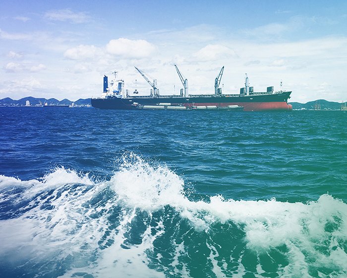
Metocean Services encompass the study of meteorological and oceanographic (metocean) parameters critical for marine operations, coastal engineering, and offshore infrastructure planning. By integrating atmospheric and oceanic data, these services support a wide range of applications—from marine survey and offshore construction to environmental and chemical oceanography research.
With advancements in Earth observation technologies, Metocean Services now include high-resolution satellite data and remote sensing tools to monitor ocean dynamics. These services provide accurate, real-time information on ocean surface conditions such as waves, winds, currents, and tides, enabling safer and more efficient decision-making for maritime stakeholders.
Traditional methods such as ship-based surveys, buoys, and current meters are enhanced through satellite data integration, offering expansive and continuous coverage across oceanic regions. This is especially beneficial for conducting high-quality marine surveys and supporting chemical oceanography studies that depend on understanding physical ocean processes.
© Copyright 2025. All Rights Reserved by GISMappers Saudi Arabia